Abu Silah
| Abu Silah | |
|---|---|
| Village | |
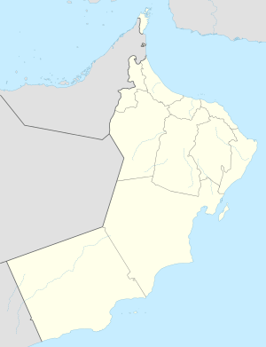  Abu Silah Location in Oman | |
| Coordinates: 23°26′N 56°14′E / 23.433°N 56.233°ECoordinates: 23°26′N 56°14′E / 23.433°N 56.233°E | |
| Country |
 Oman Oman |
| Region | Ad Dhahirah Region |
| Time zone | Oman Standard Time (UTC+4) |
Abu Silah is a village in Ad Dhahirah Region, in northeastern Oman. The hamlets of Qa`idi and Jufayf are in very close proximity. The village lies along the Muscat Sur Highway (Highway 21) north by road from Mazim.[1][2] There is also a Wadi Silah flowing through the Ad Dhahirah Region. [3]
References
- ↑ Google Maps (Map). Google.
- ↑ Bing Maps (Map). Microsoft and Harris Corporation Earthstar Geographics LLC.
- ↑ University of South Florida (1964). University of South Florida language quarterly. Retrieved 12 May 2011.
This article is issued from Wikipedia - version of the 10/23/2016. The text is available under the Creative Commons Attribution/Share Alike but additional terms may apply for the media files.