Agailjhara Upazila
| Agailjhara আগৈলঝারা | |
|---|---|
| Upazila | |
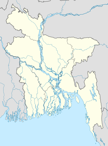  Agailjhara Location in Bangladesh | |
| Coordinates: 22°58′N 90°9′E / 22.967°N 90.150°ECoordinates: 22°58′N 90°9′E / 22.967°N 90.150°E | |
| Country |
 Bangladesh Bangladesh |
| Division | Barisal Division |
| District | Barisal District |
| Area | |
| • Total | 161.82 km2 (62.48 sq mi) |
| Population (1991) | |
| • Total | 147,343 |
| • Density | 910/km2 (2,400/sq mi) |
| Time zone | BST (UTC+6) |
| Website | Official Map of the Agailjhara Upazila |

Agailjhara (Bengali: আগৈলঝারা) is an Upazila of Barisal District in the Division of Barisal, Bangladesh, covering 161.82 km².[1]
Demographics
According to the 1991 Bangladesh census, Agailjhara had a population of 147,343 in 30,560 households. Males constituted 50.93% of the population, and females 49.07%. The population aged 18 or over was 76,524. Agailjhara had an average literacy rate of 42.4% (7+ years), compared to the national average of 32.4%. It has 95 villages.[2]
Administration
Agailjhara has 5 Unions/Wards, 84 Mauzas/Mahallas and 95 villages.
Education
Notable educational institutions in Agailjhara include Agailjhara College One of the oldest schools of Goila High School, established in 1893, B H P Academy, established in 1919. Rajihar Secondary School is also situated there.poysarhat high school.Kodaldhoa high school.
See also
References
- ↑ Apurba Lal Haldar (2012). "Agailjhara Upazila". In Sirajul Islam and Ahmed A. Jamal. Banglapedia: National Encyclopedia of Bangladesh (Second ed.). Asiatic Society of Bangladesh.
- ↑ "Population Census Wing, BBS.". Archived from the original on 2005-03-27. Retrieved November 10, 2006.
3. Bigraha Lal Adhikary,Rajapur., Poysarhat, Agailjhara,Barisal.
External links
| Upazila/Thana: | | |
|---|---|---|
| Upazilas of the Barisal Division | ||
|---|---|---|
Capital: Barisal | ||
| Barguna District |  | |
| Barisal District | ||
| Bhola District | ||
| Jhalokati District | ||
| Patuakhali District | ||
| Pirojpur District | ||