Agnihal
| Agnihal | |
|---|---|
| Village | |
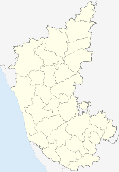  Agnihal   Agnihal | |
| Coordinates: 16°25′39″N 077°15′26″E / 16.42750°N 77.25722°ECoordinates: 16°25′39″N 077°15′26″E / 16.42750°N 77.25722°E | |
| Country |
 India India |
| State | Karnataka |
| District | Yadgir district |
| Taluka | Shahapur |
| Government | |
| • Type | Panchayat raj |
| • Body | Gram panchayat |
| Population (2001) | |
| • Total | 477 |
| Languages | |
| • Official | Kannada |
| Time zone | IST (UTC+5:30) |
| ISO 3166 code | IN-KA |
| Vehicle registration | KA |
| Website |
karnataka |
Agnihal is a village in the southern state of Karnataka, India.[1][2] Administratively, it is under Gonal panchayat village, Shahapur Taluka of Yadgir district in Karnataka.[3]
Demographics
At the 2001 census, Agnihal had 477 inhabitants, with 235 males (49.3%) and 242 females (50.7%), for a gender ratio of 1,030 females per thousand males.[4]
See also
References
- ↑ 2001 Census Village code= 384600, "Census of India : List of Villages Alphabetical Order - Karnataka - A". Registrar General & Census Commissioner, India. p. 14. Retrieved 2008-12-18.
- ↑ "Yahoo! maps India :". Retrieved 2009-04-17. Agnihal, Gulbarga, Karnataka
- ↑ 2011 Village code = 621223, "Reports of National Panchayat Directory: List of Census Villages mapped for: Gonal Gram Panchayat, Shahapu, Yadgir, Karnataka". Ministry of Panchayati Raj, Government of India. Archived from the original on 13 February 2013.
- ↑ "Village wise statistics of Shahapur Taluka". Yadgir district. Archived from the original on 12 April 2013.
External links
District HQ: Yadgir | |||||||||||
| Cities and towns | |||||||||||
| Villages and other settlements | |||||||||||
| Parks, reserves and places of interest | |||||||||||
This article is issued from Wikipedia - version of the 10/16/2016. The text is available under the Creative Commons Attribution/Share Alike but additional terms may apply for the media files.