Aioun el Atrouss Airport
| Aioun el Atrouss Airport | |||||||||||
|---|---|---|---|---|---|---|---|---|---|---|---|
| IATA: AEO – ICAO: GQNA | |||||||||||
| Summary | |||||||||||
| Airport type | Public | ||||||||||
| Operator | Government | ||||||||||
| Serves | Aioun el Atrouss, Mauritania | ||||||||||
| Elevation AMSL | 951 ft / 290 m | ||||||||||
| Coordinates | 16°42′40″N 009°38′16″W / 16.71111°N 9.63778°W | ||||||||||
| Map | |||||||||||
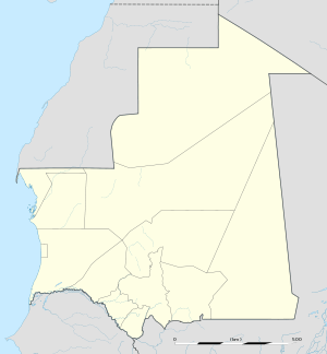  AEO Location within Mauritania | |||||||||||
| Runways | |||||||||||
| |||||||||||
Aioun el Atrouss Airport (IATA: AEO, ICAO: GQNA) is an airport serving Aioun el Atrouss (also known as Ayoun al Atrous), a town in southern Mauritania and the capital of the Hodh El Gharbi region.
References
- ↑ Airport information for GQNA from DAFIF (effective October 2006)
- ↑ Airport information for AEO at Great Circle Mapper.
External links
This article is issued from Wikipedia - version of the 7/2/2015. The text is available under the Creative Commons Attribution/Share Alike but additional terms may apply for the media files.