Alderwood State Wayside
| Alderwood State Wayside | |
|---|---|
.jpg) | |
  | |
| Type | Public, state |
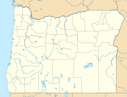
| Location | Lane County, Oregon |
| Nearest city | Eugene |
| Coordinates | 44°09′18″N 123°25′24″W / 44.1551225°N 123.4234324°WCoordinates: 44°09′18″N 123°25′24″W / 44.1551225°N 123.4234324°W[1] |
| Area | 76.4 acres (30.9 ha)[2] |
| Created | 1931–35 |
| Operated by | Oregon Parks and Recreation Department |
| Visitors | about 45,000 annually[2] |
| Open | Year-round |
Alderwood State Wayside is a state park on Oregon Route 36 in the state of Oregon. Administered by the Oregon Parks and Recreation Department, the day-use wayside covers about 76 acres (31 ha).[2] It is open year-round and attracts about 45,000 visitors annually.[2]
The state acquired the land for the park from Lane County in 1931, and the Civilian Conservation Corps developed the picnic site in about 1935.[2] Amenities include picnic tables, toilets, and a hiking trail along the Long Tom River, which flows through the park.[3]
Flora at Alderwood includes big Douglas firs, Pacific dogwoods, bigleaf maples, and other trees.[2] Smaller plants, especially lush in spring, include trillium, yellow violets, and bleeding hearts, ferns and mosses.[4] Among the fauna observed here are kingfishers and cutthroat trout.[2]
See also
References
- ↑ "Alderwood State Park". Geographic Names Information System. United States Geological Survey. Retrieved June 21, 2011.
- 1 2 3 4 5 6 7 "Alderwood State Wayside: History and FAQ". Oregon Parks and Recreation Department. Retrieved April 23, 2016.
- ↑ "Alderwood State Wayside". Oregon Parks and Recreation Department. Retrieved April 23, 2016.
- ↑ Bannan, Jan (2002). Oregon State Parks: A Complete Recreation Guide (2nd ed.). Seattle: The Mountaineers Books. pp. 140–41. ISBN 0-89886-794-0.