Apert
| Apert | |
|---|---|
  Apert | |
| Highest point | |
| Elevation | 631.3 m above sea level (NHN) (2,071 ft) [1] |
| Coordinates | 50°12′03″N 6°33′39″E / 50.20083°N 6.56083°ECoordinates: 50°12′03″N 6°33′39″E / 50.20083°N 6.56083°E |
| Geography | |
| Location | Rhineland-Palatinate |
| State/Province | DE-RP |
| Parent range | Volcanic Eifel |
| Geology | |
| Mountain type | Slate |
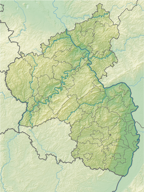
The Apert is a forested mountain, 631.3 m above sea level (NHN), in the western Volcanic Eifel, a mountain range in the German state of Rhineland-Palatinate. It rises about two kilometres south of Büdesheim and is the highest point in the parish (Gemarkung).
Geology
The region is part of the Rhenish Massif; the basement of the Apert consists of the fossil-rich Büdesheim Slate and Flinz, a rock of the lower Upper Devonian.[2] Fossils of the following biological orders have been found (sometimes as index fossils): Buchiola, Cheiloceras, Goniatites, Clymeniida, Orthoceras and Manticoceras.[3]
External links and map
- View from the Apert
- Landesamt für Vermessung und Geobasisinformation Rheinland-Pfalz: topographic map 1:25,000 series, Sheet 5705, Gerolstein
References
- ↑ Map services of the Federal Agency for Nature Conservation
- ↑ Oberdevon im Raum Büdesheim
- ↑ Geological finds in Büdesheim
This article is issued from Wikipedia - version of the 10/16/2016. The text is available under the Creative Commons Attribution/Share Alike but additional terms may apply for the media files.