Arandis Airport
| Arandis Airport | |||||||||||
|---|---|---|---|---|---|---|---|---|---|---|---|
| IATA: ADI – ICAO: FYAR | |||||||||||
| Summary | |||||||||||
| Airport type | Public | ||||||||||
| Operator | Private | ||||||||||
| Serves | Arandis, Namibia | ||||||||||
| Elevation AMSL | 1,905 ft / 581 m | ||||||||||
| Coordinates | 22°27′44″S 014°58′48″E / 22.46222°S 14.98000°ECoordinates: 22°27′44″S 014°58′48″E / 22.46222°S 14.98000°E | ||||||||||
| Map | |||||||||||
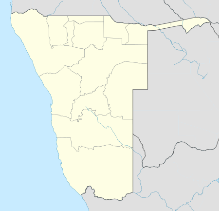  Arandis Airport Location of airport in Namibia | |||||||||||
| Runways | |||||||||||
| |||||||||||
Arandis Airport (IATA: ADI, ICAO: FYAR) is an airport serving Arandis, a town in the Erongo Region of Namibia. The airport is about 5 km (3 mi) south of the center of Arandis.[4] The town and airport also provide service to the Rössing Uranium Mine, one of the world's largest open-pit uranium mines.
The Arandis non-directional beacon (Ident: AD) is located 0.87 nautical miles (1.61 km) off the threshold of Runway 10.[5][6]
See also
 Aviation portal
 Namibia portal
- List of airports in Namibia
- Transport in Namibia
References
- ↑ Airport information for FYAR from DAFIF (effective October 2006)
- ↑ Airport information for ADI at Great Circle Mapper.
- ↑ Google Maps - Arandis
- ↑ "Distance and heading from Arandis to airport". WikiMapia. Archived from the original on 17 February 2010. Retrieved 18 Feb 2010.
- ↑ Arandis NDB
- ↑ AD NDB
External links
This article is issued from Wikipedia - version of the 9/13/2016. The text is available under the Creative Commons Attribution/Share Alike but additional terms may apply for the media files.