Arthur-Leonard Historic District
|
Arthur-Leonard Historic District | |
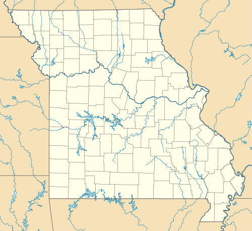   | |
| Location | Roughly bounded by Ford Ave., Jewell St., Choctaw St., and Missouri St., Liberty, Missouri |
|---|---|
| Coordinates | 39°14′41″N 94°24′56″W / 39.24472°N 94.41556°WCoordinates: 39°14′41″N 94°24′56″W / 39.24472°N 94.41556°W |
| Area | 11 acres (4.5 ha) |
| Architectural style | Prairie School, Bungalow/craftsman, et al. |
| MPS | Liberty, Clay County, Missouri MPS AD |
| NRHP Reference # | 00001608[1] |
| Added to NRHP | January 4, 2001 |
Arthur-Leonard Historic District is a national historic district located at Liberty, Clay County, Missouri. It encompasses 36 contributing buildings in a predominantly residential section of Liberty. The district developed between about 1868 and 1946, and includes representative examples of Greek Revival, Queen Anne, Prairie School, and Bungalow / American Craftsman style residential architecture.[2]
It was listed on the National Register of Historic Places in 2001.[1]
References
- 1 2 National Park Service (2010-07-09). "National Register Information System". National Register of Historic Places. National Park Service.
- ↑ Deon Wolfenbarger, Carolyn Fulk, and Steven E. Mitchell (November 2000). "National Register of Historic Places Inventory Nomination Form: Arthur-Leonard Historic District" (PDF). Missouri Department of Natural Resources. Retrieved 2016-11-01. and Site Map

This article is issued from Wikipedia - version of the 12/2/2016. The text is available under the Creative Commons Attribution/Share Alike but additional terms may apply for the media files.