Aru, Democratic Republic of the Congo
| Aru | |
|---|---|
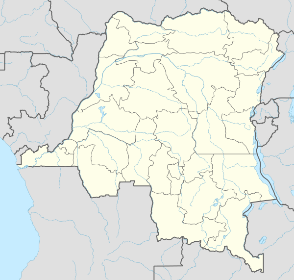  Aru | |
| Coordinates: 2°51′42″N 30°50′00″E / 2.86167°N 30.83333°E | |
| Country |
 Democratic Republic of the Congo Democratic Republic of the Congo |
| Province | Ituri Province |
| Territory | Aru Territory |
| Population (2004) | |
| • Total | 26,290 [1] |
| Climate | Aw |
| National language | Swahili |
Aru is a town and the seat of Aru Territory in the Ituri Province of the Democratic Republic of the Congo. In 2004 its population was estimated to be 26,290.[1] Aru has a small airport but no public electricity grid as of 2010.
References
- 1 2 3 "Congo (Dem. Rep.)". City Population. Retrieved 24 December 2014.
- ↑ "Democratic Republic of Congo" (PDF). UNHCR. Retrieved 24 December 2014.
- ↑ "Aru Map". Google Maps. Google. Retrieved 24 December 2014.
Coordinates: 2°51′42″N 30°50′00″E / 2.86167°N 30.83333°E
This article is issued from Wikipedia - version of the 9/2/2016. The text is available under the Creative Commons Attribution/Share Alike but additional terms may apply for the media files.