Aveiras de Cima
| Aveiras de Cima | ||
|---|---|---|
| Parish | ||
| ||
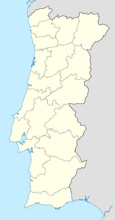  Aveiras de Cima | ||
| Coordinates: 39°08′17″N 8°54′00″W / 39.138°N 8.900°WCoordinates: 39°08′17″N 8°54′00″W / 39.138°N 8.900°W | ||
| Country | Portugal | |
| Region | Ribatejo | |
| Subregion | Lezíria do Tejo | |
| Intermunic. comm. | Lezíria do Tejo | |
| District | Lisbon | |
| Municipality | Azambuja | |
| Area | ||
| • Total | 26.16 km2 (10.10 sq mi) | |
| Population (2011) | ||
| • Total | 4,762 | |
| • Density | 180/km2 (470/sq mi) | |

Aveiras de Cima (Portuguese pronunciation: [aˈvɐjɾɐʃ dɨ ˈsimɐ]) is a little Portuguese town by the A1 highway. It is situated in the Lisbon District and in the Azambuja Municipality. The population in 2011 was 4,762,[1] in an area of 26.16 km².[2]
References
This article is issued from Wikipedia - version of the 10/22/2016. The text is available under the Creative Commons Attribution/Share Alike but additional terms may apply for the media files.