Baesweiler
| Baesweiler | ||
|---|---|---|
|
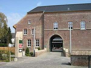
Castle Baesweiler, front | ||
| ||
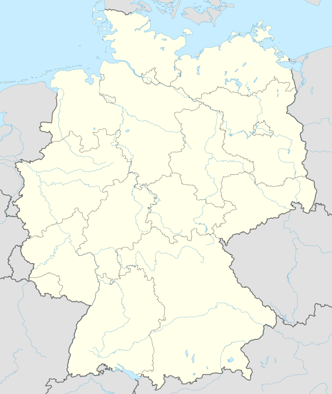  Baesweiler | ||
Location of Baesweiler within Aachen district 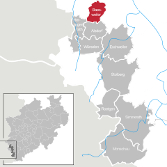
 | ||
| Coordinates: 50°54′N 6°11′E / 50.900°N 6.183°ECoordinates: 50°54′N 6°11′E / 50.900°N 6.183°E | ||
| Country | Germany | |
| State | North Rhine-Westphalia | |
| Admin. region | Köln | |
| District | Aachen | |
| Government | ||
| • Mayor | Willi Linkens (CDU) | |
| Area | ||
| • Total | 27.82 km2 (10.74 sq mi) | |
| Population (2015-12-31)[1] | ||
| • Total | 26,819 | |
| • Density | 960/km2 (2,500/sq mi) | |
| Time zone | CET/CEST (UTC+1/+2) | |
| Postal codes | 52499 | |
| Dialling codes | 02401 | |
| Vehicle registration | AC | |
| Website | www.baesweiler.de | |

Baesweiler (German pronunciation: [ˈbaːsvaɪlɐ]) is a municipality in the district of Aachen, North Rhine-Westphalia, Germany.
Geography
Baesweiler is located approximately 20 km north-east of Aachen.
Neighbouring municipalities
Division of the municipality
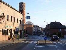
Setterich
The municipality has seven subdivisions since a local government reform in 1972 (populations as of January 2007):
- Baesweiler (13,864 inhabitants)
- Beggendorf (1,667 inhabitants)
- Floverich (408 inhabitants)
- Loverich (1,255 inhabitants)
- Oidtweiler (2,731 inhabitants)
- Puffendorf (441 inhabitants)
- Setterich (7,794 inhabitants)
History
In 1371 a battle took place between the armies of Wenceslaus I, duke of Brabant on one hand, and Gulik and Gelre on the other.[2] Wenceslaus, upon his capture, suffered a humiliating defeat.[3]
Population developement
- 1950: 13.268
- 1970: 24.223
- 1998: 26.731
- 2000: 27.434
- 2002: 27.604
- 2004: 27.933
- 2006: 28.160
- 2008: 27.991
- 2010: 27.898
- 2012: 26.445
- 2014: 26.597
- 2015: 26.819
International relations
Baesweiler is twinned with:
- Easington,
 United Kingdom -– since 1975
 -
 Montesson,
  France -– since 1990
Sons and daughters of the town
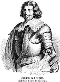
Johann von Werth
- Johann von Werth (1591-1652), general in the Thirty Years War, was probably born on 6 April 1591 in Puffendorf, however, the birth place is debatable between several towns of the Rhineland
- Joseph Matthias Hubertus Goebbels (1836-1911) was for 32 years chaplain at St. Maria in Cologne.
- Willi Linkens (born 1954), mayor of Baesweiler
- David Christiansen (born 1976), composer
- Ralph Gunesch (born 1983), football player
References
- ↑ "Amtliche Bevölkerungszahlen". Landesbetrieb Information und Technik NRW (in German). 18 July 2016.
- ↑ Richard Vaughan, Philip the Bold, (The Boydell Press, 2009), 80.
- ↑ Richard Vaughan, Philip the Bold, 80.
External links
 |
Wikimedia Commons has media related to Baesweiler. |
- Official site (German)
-
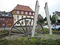
Monument for the coal pit "Carl-Alexander" erected on Reyplatz
Towns and municipalities in Aachen (district) | ||
|---|---|---|
 | ||
This article is issued from Wikipedia - version of the 12/2/2016. The text is available under the Creative Commons Attribution/Share Alike but additional terms may apply for the media files.