Baie-du-Tombeau
| Baie-du-Tombeau | |
|---|---|
| Village | |
  Baie-du-Tombeau | |
| Coordinates: 20°6′49.7916″S 57°30′23.6736″E / 20.113831000°S 57.506576000°ECoordinates: 20°6′49.7916″S 57°30′23.6736″E / 20.113831000°S 57.506576000°E | |
| Country |
 Mauritius Mauritius |
| Districts | Pamplemousses District |
| Government | |
| Population (2011)[1] | |
| • Total | 14,687 |
| • Density | 1,963.5/km2 (5,085/sq mi) |
| Time zone | MUT (UTC+4) |
| Area code(s) | 230 |
| ISO 3166 code | MU |
| Climate | Am |
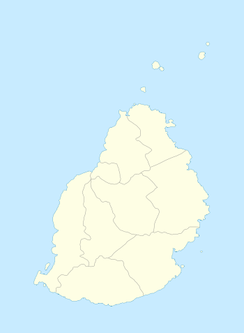
Baie-du-Tombeau is a village in Mauritius located in the Pamplemousses District, situated near the Rivière du Tombeau. The village is administered by the Baie-du-Tombeau Village Council under the aegis of the Pamplemousses District Council.[2] According to the census made by Statistics Mauritius in 2011, the population was at 14,687.[1]
See also
References
- 1 2 "Table G1 - Resident population by geographical location, whereabouts on census night and sex" (PDF). Statistics Mauritius. 2011: 3 and 4. Retrieved 18 December 2012.
- ↑ Ministry of Local Government and Outer Islands. "Local Government Act 2011" (PDF). Government of Mauritius. Retrieved 18 December 2012.
 |
Wikimedia Commons has media related to Baie-du-Tombeau. |
This article is issued from Wikipedia - version of the 6/18/2016. The text is available under the Creative Commons Attribution/Share Alike but additional terms may apply for the media files.