Ballinamult
| Ballinamult Béal na Molt | |
|---|---|
| Village | |
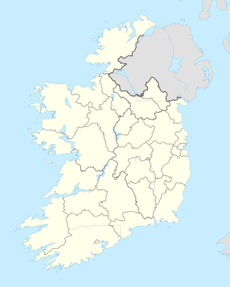  Ballinamult Location in Ireland | |
| Coordinates: 52°12′44″N 7°43′59″W / 52.212157°N 7.733171°WCoordinates: 52°12′44″N 7°43′59″W / 52.212157°N 7.733171°W | |
| Country |
 Ireland Ireland |
| Province | Munster |
| County | County Waterford |
| Time zone | WET (UTC+0) |
| • Summer (DST) | IST (WEST) (UTC-1) |
Ballinamult (Irish: Béal na Molt, meaning " the Gap of Weathers") is a hamlet in County Waterford situated near the border with County Tipperary.[1] It is in the historic Sliabh gCua district between the Comeragh and Knockmealdown Mountains.
Ballinamult Barracks
The barracks was built by 1714 as it features on a map of that date by Herman Moll and it is described as a redoubt for twenty men. It was situated on a bluff on the East bank of the Finisk River guarding access to County Tipperary.[2] In 1918, the garrison consisted of a Sergeant and three constables. Later on this was increased by a party of about a dozen soldiers.[3]
See also
External links
References
- ↑ "Placenames Database of Ireland". Dublin City University. Retrieved 15 December 2014.
- ↑ "Archaeological Survey Database". National Monuments Service. Retrieved 15 December 2014.
- ↑ Statement by John Whelan (PDF). Bureau of Military History. 12 June 1955. Retrieved 15 December 2014.
Places in County Waterford | ||
|---|---|---|
| Towns |  | |
| Villages and Townlands |
| |
| ||
This article is issued from Wikipedia - version of the 1/30/2015. The text is available under the Creative Commons Attribution/Share Alike but additional terms may apply for the media files.