Bayramlı, Uzunköprü
| Bayramlı Tırnovo | |
|---|---|
| Village | |
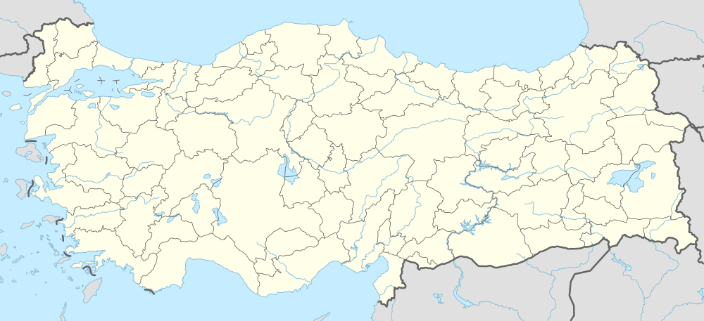  Bayramlı Location in Turkey | |
| Coordinates: 41°18′N 26°49′E / 41.300°N 26.817°ECoordinates: 41°18′N 26°49′E / 41.300°N 26.817°E | |
| Country |
 Turkey Turkey |
| Province | Edirne Province |
| District | Uzunköprü |
| Elevation | 76 m (249 ft) |
| Population (2011) | |
| • Total | 444 |
| Time zone | EET (UTC+2) |
| • Summer (DST) | EEST (UTC+3) |
| Postal code | 22200 |
| Area code(s) | 0284 |
| Licence plate | 22 |
Bayramlı is a village in Uzunköprü district of Edirne Province, Turkey, It is situated in the Eastern Thrace plains at 41°18′N 26°49′E / 41.300°N 26.817°E. The distance to Uzunköprü is 15 kilometres (9.3 mi) . The population of the village was 444 as of 2011.[1] The old name of this village was Tarnovo. It was a big Bulgarian village during the Ottoman Empire era. But after the Second Balkan War the Bulgarian population was forced to leave the settlement.
References
This article is issued from Wikipedia - version of the 6/13/2016. The text is available under the Creative Commons Attribution/Share Alike but additional terms may apply for the media files.