Beinn-y-Phott
| Beinn-y-Phott | |
|---|---|
|
seen from the top of Cairn Gerjoil looking across Windy Corner | |
| Highest point | |
| Elevation | 1,791 ft (546 m) |
| Prominence | 443 ft (135 m) |
| Coordinates | 54°14′39.3″N 4°29′9.9″W / 54.244250°N 4.486083°WCoordinates: 54°14′39.3″N 4°29′9.9″W / 54.244250°N 4.486083°W |
| Naming | |
| Translation | point of the pot |
| Geography | |
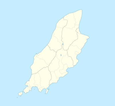  Beinn-y-Phott Location of Beinn-y-Phott in the Isle of Man | |
| Location | Isle of Man |
| OS grid | SC381860 |
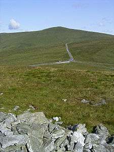
Beinn-y-Phott, known as Penny-Pot, is a peak of 1791 feet on the Isle of Man.[1] It is skirted by the main road used for the famous TT race and is near Windy Corner. It is covered by moorland and a detailed dating of its vegetation through the Holocene period has been made — mostly heathers, peat mosses and sedges.[2]
References
This article is issued from Wikipedia - version of the 12/6/2015. The text is available under the Creative Commons Attribution/Share Alike but additional terms may apply for the media files.