Bengai
| Bengai | |
|---|---|
| town | |
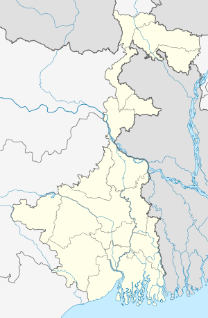  Bengai Location in West Bengal, India | |
| Coordinates: 22°56′45″N 87°41′19″E / 22.94595°N 87.6885°ECoordinates: 22°56′45″N 87°41′19″E / 22.94595°N 87.6885°E | |
| Country |
 India India |
| State | West Bengal |
| District | Hooghly |
| Area | |
| • Total | 278.59 km2 (107.56 sq mi) |
| Population (2011) | |
| • Total | 268,620 |
| • Density | 960/km2 (2,500/sq mi) |
| Languages | |
| • Official | Bengali, English |
| Time zone | IST (UTC+5:30) |
| PIN | 712611 |
| Sex ratio | 922 ♂/♀ |
| Lok Sabha constituency | Arambag |
| CD Bloc | |
Bengai is a town in Arambagh subdivision of Hooghly district in the Indian state of West Bengal.
This article is issued from Wikipedia - version of the 6/22/2016. The text is available under the Creative Commons Attribution/Share Alike but additional terms may apply for the media files.