Berehomet
| Berehomet Берегомет | |
|---|---|
| Urban-type settlement | |
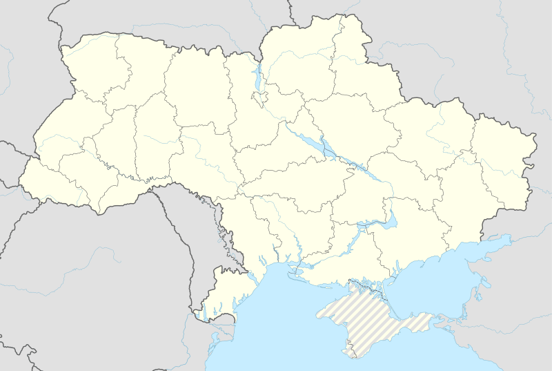  Berehomet Location of Berehomet in Ukraine | |
| Coordinates: UA 48°09′25″N 25°18′20″E / 48.15694°N 25.30556°ECoordinates: UA 48°09′25″N 25°18′20″E / 48.15694°N 25.30556°E | |
| Country |
 Ukraine Ukraine |
| Province |
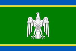 Chernivtsi Oblast Chernivtsi Oblast |
| District |
 Vyzhnytsia Raion Vyzhnytsia Raion |
| Town status | 1963 |
| Government | |
| • Town Head | Mykhailo Andronik |
| Elevation[1] | 467 m (1,532 ft) |
| Population (2001) | |
| • Total | 8,513 |
| Time zone | EET (UTC+2) |
| • Summer (DST) | EEST (UTC+3) |
| Postal code | 59233 |
| Area code | +380 3730 |
| Website | http://rada.gov.ua/ |
Berehomet (Romanian: Bеrhomet pe Siret, German: Bеrhometh, Ukrainian: Берегомет), is an urban-type settlement in the Vyzhnytsia Raion (district) of Chernivtsi Oblast (province) in western Ukraine. The town lies on the Sireth River. At the 2001 census, the town's population was 8,513.[2]
People from Berehomet
- Baron Alexander Wassilko von Serecki (1823-1893), governor of the Duchy of Bucovina and member of the Herrenhaus
- Count Georg Wassilko von Serecki (1864-1940), governor of the Duchy of Bucovina and hereditary member of the Herrenhaus
- Antin Kravs (1871-1945), Ukrainian Galician Army general.
- Odarka Kyselytsia, Ukrainian landscape and portrait painter, Honored Artist of Ukraine (1997).
References
- ↑ "Berehomet (Chernivtsi Oblast, Vyzhnytsia Raion)". weather.in.ua (in Ukrainian). Retrieved 20 January 2012.
- ↑ "Berehomet, Chernivtsi Oblast, Vyzhnytsia Raion". Regions of Ukraine and their Structure (in Ukrainian). Verkhovna Rada of Ukraine. Retrieved 20 January 2012.
| Raions |  | ||||||
|---|---|---|---|---|---|---|---|
| Cities |
| ||||||
| |||||||
This article is issued from Wikipedia - version of the 10/6/2015. The text is available under the Creative Commons Attribution/Share Alike but additional terms may apply for the media files.