Black Coulee National Wildlife Refuge
| Black Coulee National Wildlife Refuge | |
|---|---|
|
IUCN category IV (habitat/species management area) | |
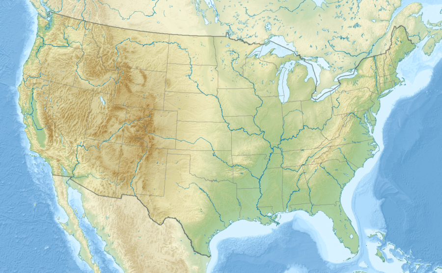  | |
| Location | Blaine County, Montana, USA |
| Nearest city | Malta, MT |
| Coordinates | 48°41′23″N 108°24′42″W / 48.68972°N 108.41167°W[1]Coordinates: 48°41′23″N 108°24′42″W / 48.68972°N 108.41167°W[1] |
| Area | 1,308 acres (529 ha) in 2010 |
| Established | 1938 |
| Governing body | U.S. Fish and Wildlife Service |
| Website | Black Coulee National Wildlife Refuge |
Black Coulee National Wildlife Refuge is a 1,308-acre (529 ha) National Wildlife Refuge in the U.S. state of Montana near the Canada–US border.[2][3] This very remote refuge is a part of the Bowdoin Wetland Management District (WMD), and is unstaffed. The refuge is managed from Bowdoin National Wildlife Refuge.[4]
References
- 1 2 "Black Coulee National Wildlife Refuge". Geographic Names Information System. United States Geological Survey. Retrieved February 1, 2014.
- ↑ "Annual Report of Lands Under Control of the U.S. Fish and Wildlife Service" (pdf). U.S. Fish and Wildlife Service. September 30, 2010. p. 25. Retrieved February 8, 2014.
- ↑ Down Reservoir NW, MT (Map). Topoquest (USGS Quads). Retrieved February 1, 2014.
- ↑ "Wetland Management District". Bowdoin National Wildlife Refuge. U.S. Fish and Wildlife Service. Retrieved February 1, 2014.
External links
This article is issued from Wikipedia - version of the 11/19/2016. The text is available under the Creative Commons Attribution/Share Alike but additional terms may apply for the media files.