Bob Quinn Lake Airport
| Bob Quinn Lake Airport | |||||||||||
|---|---|---|---|---|---|---|---|---|---|---|---|
| IATA: YBO – ICAO: none – TC LID: CBW4 | |||||||||||
| Summary | |||||||||||
| Airport type | Public | ||||||||||
| Operator | Bob Quinn Lake Airport Society | ||||||||||
| Location | Bob Quinn Lake, British Columbia | ||||||||||
| Time zone | PST (UTC−08:00) | ||||||||||
| • Summer (DST) | PDT (UTC−07:00) | ||||||||||
| Elevation AMSL | 1,970 ft / 600 m | ||||||||||
| Coordinates | 56°58′00″N 130°14′58″W / 56.96667°N 130.24944°WCoordinates: 56°58′00″N 130°14′58″W / 56.96667°N 130.24944°W | ||||||||||
| Map | |||||||||||
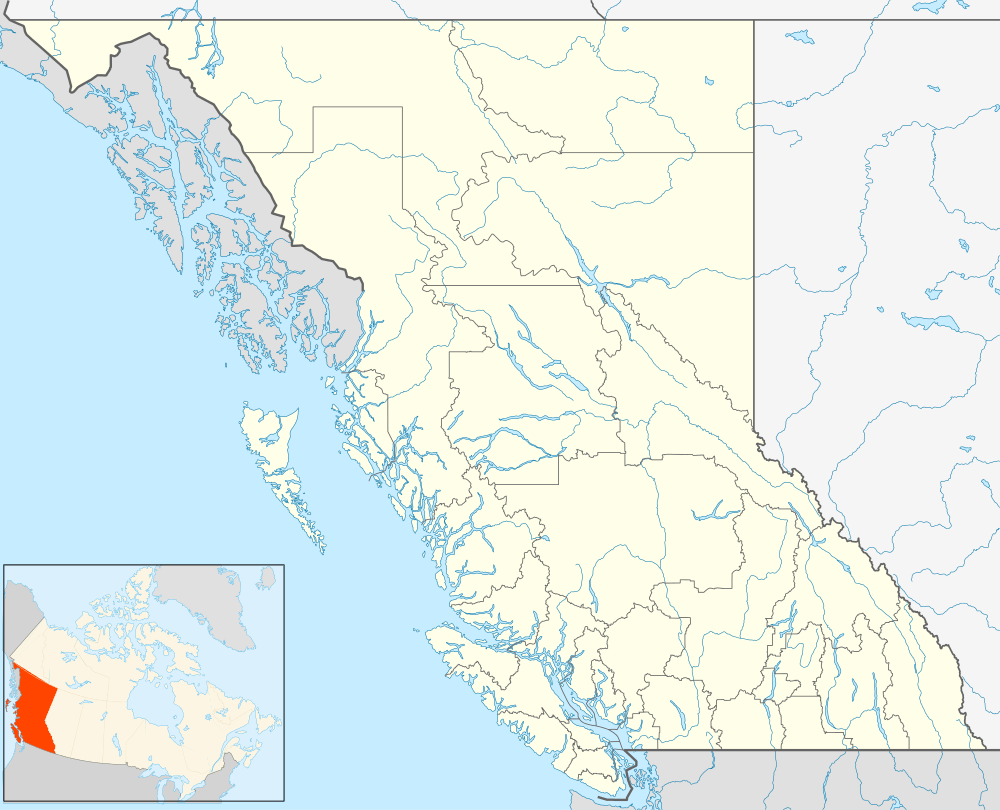  CBW4 Location in British Columbia | |||||||||||
| Runways | |||||||||||
| |||||||||||
|
Source: Canada Flight Supplement[1] | |||||||||||
Bob Quinn Lake Airport, (IATA: YBO, TC LID: CBW4), is located near to Bob Quinn Lake, British Columbia, Canada.
References
- ↑ Canada Flight Supplement. Effective 0901Z 15 September 2016 to 0901Z 10 November 2016
External links
- Page about this aerodrome on COPA's Places to Fly airport directory
| By name | |
|---|---|
| By location indicator | |
| By province/territory | |
| By region | |
| National Airports System | |
| Related | |
| |


This article is issued from Wikipedia - version of the 12/4/2016. The text is available under the Creative Commons Attribution/Share Alike but additional terms may apply for the media files.