Bocktschingel
| Bocktschingel | |
|---|---|
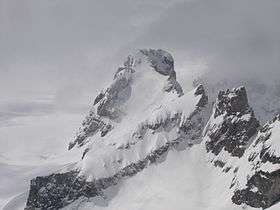 View from the Gemsfairenstock (north-east side) | |
| Highest point | |
| Elevation | 3,079 m (10,102 ft) |
| Prominence | 179 m (587 ft) [1] |
| Parent peak | Schärhorn |
| Coordinates | 46°50′57″N 8°53′37″E / 46.84917°N 8.89361°ECoordinates: 46°50′57″N 8°53′37″E / 46.84917°N 8.89361°E |
| Geography | |
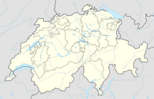  Bocktschingel Location in Switzerland | |
| Location | Uri/Glarus, Switzerland |
| Parent range | Glarus Alps |
The Bocktschingel is a mountain of the Glarus Alps, located on the border between the Swiss cantons of Uri and Glarus. It lies south-east of the Klausen Pass, on the range east of the Clariden.
References
- ↑ Retrieved from the Swisstopo topographic maps and Google Earth. The key col is located west of the summit at 2,900 metres.
External links
This article is issued from Wikipedia - version of the 5/8/2016. The text is available under the Creative Commons Attribution/Share Alike but additional terms may apply for the media files.