Boortmeerbeek
| Boortmeerbeek | |||
|---|---|---|---|
| Municipality | |||
|
Church | |||
| |||
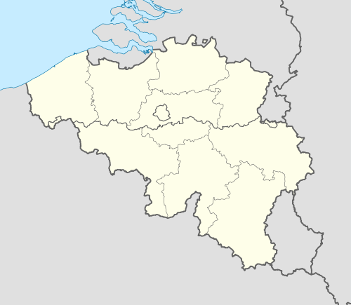  Boortmeerbeek Location in Belgium | |||
|
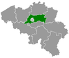
Location of Boortmeerbeek in Flemish Brabant  | |||
| Coordinates: 50°59′N 04°34′E / 50.983°N 4.567°ECoordinates: 50°59′N 04°34′E / 50.983°N 4.567°E | |||
| Country | Belgium | ||
| Community | Flemish Community | ||
| Region | Flemish Region | ||
| Province | Flemish Brabant | ||
| Arrondissement | Leuven | ||
| Government | |||
| • Mayor | Michel Baert (Open VLD) | ||
| • Governing party/ies | VLD, CD&V | ||
| Area | |||
| • Total | 18.64 km2 (7.20 sq mi) | ||
| Population (1 January 2016)[1] | |||
| • Total | 12,102 | ||
| • Density | 650/km2 (1,700/sq mi) | ||
| Postal codes | 3190, 3191 | ||
| Area codes | 015, 016 | ||
| Website | www.boortmeerbeek.be | ||
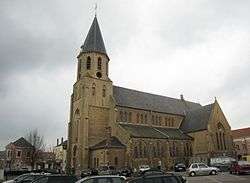

Boortmeerbeek (Dutch pronunciation: [ˌboːrtˈmeːrbeːk]) is a town in the Belgian province of Flemish Brabant. The municipality comprises the towns of Boortmeerbeek proper, Schiplaken and Hever. The total area is 18.64 km² which gives a population density of 620 inhabitants per km².
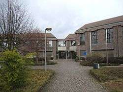
town hall
See also
References
- ↑ Population per municipality as of 1 January 2016 (XLS; 397 KB)
External links
-
 Media related to Boortmeerbeek at Wikimedia Commons
 - boortmeerbeek.be
- XXste Konvooi
- Heemkring Ravensteyn
- Boortmeerbeek.org
 |
Mechelen (VAN) | Bonheiden (VAN) | | |
| Zemst |  |
Haacht | ||
| ||||
 | ||||
| Kampenhout |


This article is issued from Wikipedia - version of the 12/1/2016. The text is available under the Creative Commons Attribution/Share Alike but additional terms may apply for the media files.