Abdelhafid Boussouf Bou Chekif Airport
| Abdelhafid Boussouf Bou Chekif Airport | |||||||||||
|---|---|---|---|---|---|---|---|---|---|---|---|
| IATA: TID – ICAO: DAOB | |||||||||||
| Summary | |||||||||||
| Serves | Tiaret, Algeria | ||||||||||
| Elevation AMSL | 989 m / 3,245 ft | ||||||||||
| Coordinates | 35°20′27.7″N 1°27′46.7″E / 35.341028°N 1.462972°ECoordinates: 35°20′27.7″N 1°27′46.7″E / 35.341028°N 1.462972°E | ||||||||||
| Map | |||||||||||
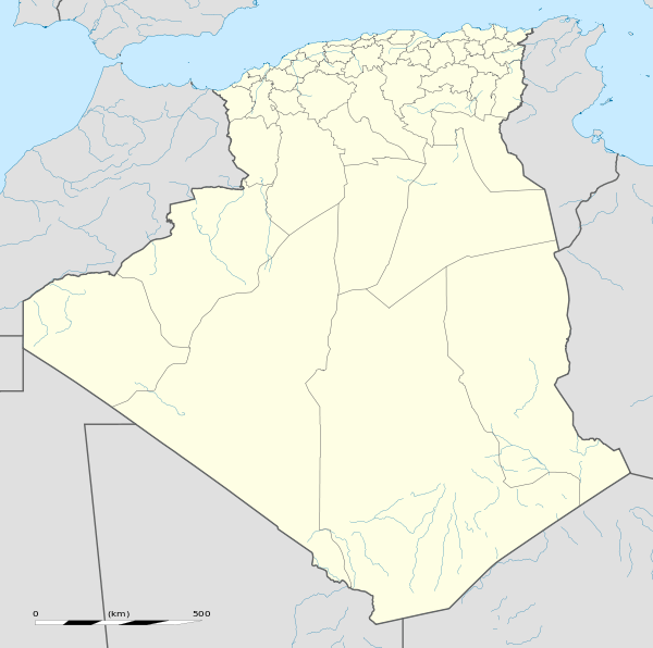  TID Location of airport in Algeria | |||||||||||
| Runways | |||||||||||
| |||||||||||
Abdelhafid Boussouf Bou Chekif Airport (IATA: TID, ICAO: DAOB), also known as Bou Chekif Airport, is an airport serving Tiaret, Algeria. It is 10 kilometres (6.2 mi) east of the town.
See also
References
- ↑ Algerian AIP and Chart
- ↑ "DAOB @ aerobaticsweb.org". Landings.com. Retrieved 2013-08-01.
External links
- Google Maps - Bou Chekif
- "DAOB @ aerobaticsweb.org". Landings.com.
- Current weather for DAOB at NOAA/NWS
This article is issued from Wikipedia - version of the 6/20/2016. The text is available under the Creative Commons Attribution/Share Alike but additional terms may apply for the media files.