Budampadu
| Budampadu బుడంపాడు | |
|---|---|
| Neighbourhood | |
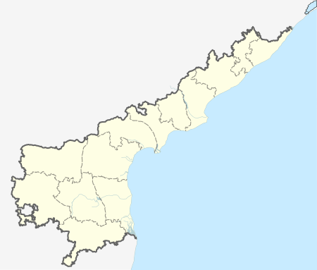  Budampadu Location in Andhra Pradesh, India | |
| Coordinates: 16°15′33″N 80°28′32″E / 16.2593°N 80.4756°ECoordinates: 16°15′33″N 80°28′32″E / 16.2593°N 80.4756°E | |
| Country | India |
| State | Andhra Pradesh |
| District | Guntur |
| City | Guntur |
| Area[1] | |
| • Total | 10.21 km2 (3.94 sq mi) |
| Population (2011) | |
| • Total | 4,959 |
| • Density | 490/km2 (1,300/sq mi) |
| Languages | |
| • Official | Telugu |
| Time zone | IST (UTC+5:30) |
| PIN | 522307 |
| Vehicle registration | AP 07, AP 08 |
Budampadu is a neighbourhood of Guntur in the Indian state of Andhra Pradesh. It was merged into Guntur Municipal Corporation in the year 2012.[1][2]
Transport
National Highway 16 and State Highway 48 are the major roads that passes through Budampadu area.[3][4] The public transport is provided by APSRTC city buses, which are operated from NTR bus station towards Chebrolu. [5][6] Guntur railway station is the major railway station located near the locality.
References
- 1 2 "District Census Handbook - Guntur" (PDF). Census of India. p. 14,384. Retrieved 31 January 2016.
- ↑ "Merger of gram panchayats in Guntur Municipal Corporation" (PDF). Guntur Municipal Corporation. Municipal Administration & Urban Development Department. Retrieved 31 January 2016.
- ↑ Samuel Jonathan, P (8 October 2015). "Nizampatnam backwaters beckon adventure geeks". The Hindu. Guntur. Retrieved 29 February 2016.
- ↑ "National Highways in A.P". AP Online Portal. Retrieved 4 August 2014.
- ↑ "Guntur still awaits city RTC services - Times of India". The Times of India. 29 September 2014. Retrieved 18 June 2016.
- ↑ "New fleet of city buses in Guntur". The Hindu. Guntur. 20 August 2015. Retrieved 16 February 2016.
This article is issued from Wikipedia - version of the 10/11/2016. The text is available under the Creative Commons Attribution/Share Alike but additional terms may apply for the media files.