Bura, Tana River County
| Bura East | |
|---|---|
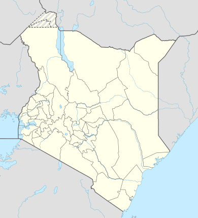  Bura East Location of Bura East | |
| Coordinates: 01°30′13″S 40°01′53″E / 1.50361°S 40.03139°ECoordinates: 01°30′13″S 40°01′53″E / 1.50361°S 40.03139°E | |
| Country | Kenya |
| County | [ Garissa County]] |
| Elevation | 105 m (344 ft) |
| Time zone | EAT0 (UTC+3) |

Watering point in Tana River County, near Bura, Kenya
Bura East is a town in Garissa County, Kenya.
Location
The town lies on the east and west banks of the Tana River, approximately 1 kilometre (1 mi), southwest of Hola, the headquarters of Tana River County,[1] effectively making Bura a suburb of Hola. The coordinates of Bura are: 01°30'13.0"S, 40°01'53.0"E (Latitude:-1.503606; Longitude:40.031380).[2]
Overview
Bura sits astride the Tana River. Bura East lies on the east bank, while Bura West lies on the west bank of the river. Bura West has a huge irrigation scheme and a health centre. To the east of Bura East lies Garissa County. Bura East hosts Bura East Airport (IATA: n/a, ICAO: HKBR), which sits at an average altitude of 344 feet (105 m).[3]
References
- ↑ Globefeed.com (13 September 2016). "Distance between Hola Law Courts, Hola, Tana River County, Kenya and Tana Supplies & Services, Bura, Kenya". Retrieved 13 September 2016.
- ↑ Google (13 September 2016). "Location of Bura, Tana River County, Kenya" (Map). Google Maps. Google. Retrieved 13 September 2016.
- ↑ Aviador (13 September 2016). "Airport Information: Bura (Kenya)". Aviador.es. Retrieved 13 September 2016.
External links
This article is issued from Wikipedia - version of the 10/13/2016. The text is available under the Creative Commons Attribution/Share Alike but additional terms may apply for the media files.