Carvalhal (Abrantes)
| Carvalhal | ||
|---|---|---|
| Parish | ||
| ||
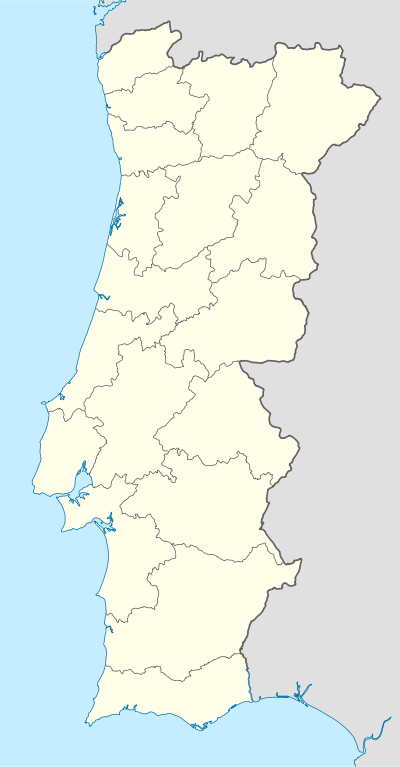  Carvalhal | ||
| Coordinates: 39°33′54″N 8°11′35″W / 39.565°N 8.193°WCoordinates: 39°33′54″N 8°11′35″W / 39.565°N 8.193°W | ||
| Country | Portugal | |
| Region | Centro | |
| Subregion | Médio Tejo | |
| Intermunic. comm. | Médio Tejo | |
| District | Santarém | |
| Municipality | Abrantes | |
| Area | ||
| • Total | 17.54 km2 (6.77 sq mi) | |
| Population (2011) | ||
| • Total | 722 | |
| • Density | 41/km2 (110/sq mi) | |

Carvalhal is a Portuguese parish, located in Abrantes Municipality, in Santarém District. The population in 2011 was 722,[1] in an area of 17.54 km².[2] Once, the parish population was composed by a large number of woodcutters, due to its location in a densely forested area. However, since the 1980s, the economic importance of the forest has been declining. The zone is usually affected by several wildfires during the summer.
References
- ↑ Instituto Nacional de Estatística (INE), Census 2011 results according to the 2013 administrative division of Portugal
- ↑ Direção-Geral do Território
Parishes of Abrantes Municipality | ||
|---|---|---|
 | ||
This article is issued from Wikipedia - version of the 11/16/2016. The text is available under the Creative Commons Attribution/Share Alike but additional terms may apply for the media files.