Castle Peak (Texas)
| Castle Peak | |
|---|---|
  Castle Peak | |
| Highest point | |
| Elevation | 2,341 ft (714 m) |
| Prominence | 291 ft (89 m) [1] |
| Parent peak | Miller Benchmark |
| Coordinates | 32°21′59″N 99°59′58″W / 32.366515°N 99.9995393°WCoordinates: 32°21′59″N 99°59′58″W / 32.366515°N 99.9995393°W [2] |
| Geography | |
| Location | Taylor County, Texas, U.S. |
| Topo map | USGS View |
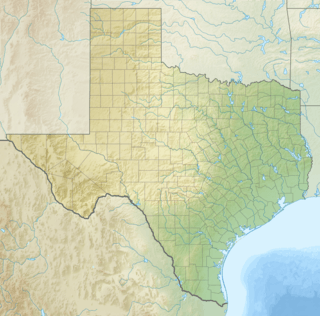
Castle Peak is a hill in western Texas 8 miles (13 km) south of Merkel in southwest Taylor County. Its peak is 2,341 feet (714 m) above sea level.
References
- ↑ "Castle Peak". List of John. Retrieved January 5, 2013.
- ↑ "Castle Peak". Geographic Names Information System. United States Geological Survey. Retrieved January 5, 2013.
This article is issued from Wikipedia - version of the 8/20/2014. The text is available under the Creative Commons Attribution/Share Alike but additional terms may apply for the media files.