Chantenay-Villedieu
| Chantenay-Villedieu | |
|---|---|
|
Town hall | |
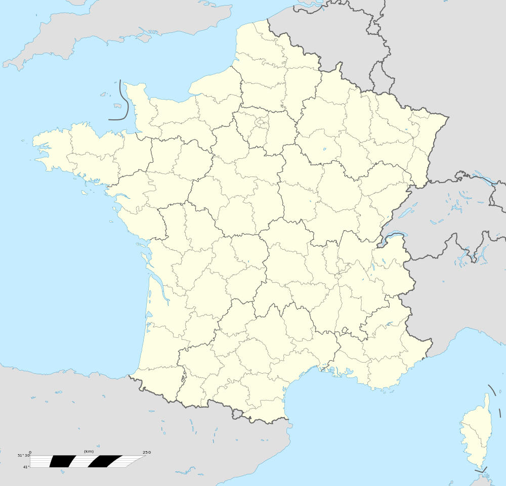  Chantenay-Villedieu | |
|
Location within Pays de la Loire region 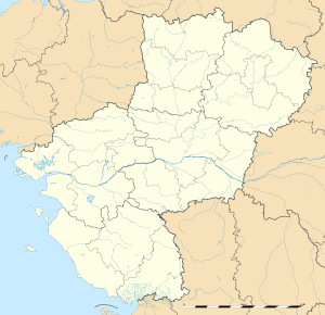 Chantenay-Villedieu | |
| Coordinates: 47°55′18″N 0°09′36″W / 47.9217°N 0.16°WCoordinates: 47°55′18″N 0°09′36″W / 47.9217°N 0.16°W | |
| Country | France |
| Region | Pays de la Loire |
| Department | Sarthe |
| Arrondissement | La Flèche |
| Canton | Brûlon |
| Intercommunality | Communauté de communes de Vègre et Champagne |
| Government | |
| • Mayor (2008–2014) | Christian Chanal |
| Area1 | 27.74 km2 (10.71 sq mi) |
| Population (2006 [1])2 | 861 |
| • Density | 31/km2 (80/sq mi) |
| Time zone | CET (UTC+1) |
| • Summer (DST) | CEST (UTC+2) |
| INSEE/Postal code | 72059 / 72430 |
| Elevation | 35–101 m (115–331 ft) |
|
1 French Land Register data, which excludes lakes, ponds, glaciers > 1 km² (0.386 sq mi or 247 acres) and river estuaries. 2 Population without double counting: residents of multiple communes (e.g., students and military personnel) only counted once. | |
.JPG)
Chantenay-Villedieu is a commune in the Sarthe department in the region of Pays-de-la-Loire in north-western France.
Places and monuments
- The priory Saint Jean-Baptiste
- Lieu: center market town, place of the town hall.
- Ancient priory founded by the monks of the abbey of the Dressmaking of Mans (fine 11th or the beginning of the 12th century), occupied by Benedictines until 1412.
See also
References
- ↑ http://www.insee.fr/fr/ppp/bases-de-donnees/recensement/populations-legales/departement.asp?dep=72#dep_B Populations légales 2006 publiées par l’INSEE le 1er janvier 2009
External links
 |
Wikimedia Commons has media related to Chantenay-Villedieu. |

This article is issued from Wikipedia - version of the 7/12/2016. The text is available under the Creative Commons Attribution/Share Alike but additional terms may apply for the media files.