Chintapally, Nalgonda district
| Chintapally చింతపల్లి | |
|---|---|
| Village | |
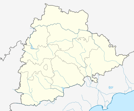  Chintapally  Chintapally Location in Telangana, India | |
| Coordinates: 16°52′18″N 78°48′12″E / 16.871576°N 78.803444°ECoordinates: 16°52′18″N 78°48′12″E / 16.871576°N 78.803444°E | |
| Country | India |
| State | Telangana |
| District | Nalgonda |
| Area[1] | |
| • Total | 24.08 km2 (9.30 sq mi) |
| Population (2011)[1] | |
| • Total | 4,368 |
| • Density | 180/km2 (470/sq mi) |
| Languages | |
| • Official | Telugu |
| Time zone | IST (UTC+5:30) |
| PIN | 508250 |
| Vehicle registration | TS |
| Lok Sabha constituency | Nalgonda |
| Vidhan Sabha constituency | Devarakonda |
| Website |
telangana |
Chintapally is a village in the Nalgonda district of the Indian state of Telangana. It is located in Chintapally mandal of Devarakonda division.[2]
References
- 1 2 "District Census Handbook - Nalgonda" (PDF). Census of India. p. 13,368. Retrieved 15 February 2016.
- ↑ "Division wise mandals list" (PDF). Official website of Nalgonda district. National Informatics Centre. pp. 11–12. Retrieved 15 February 2016.
This article is issued from Wikipedia - version of the 10/4/2016. The text is available under the Creative Commons Attribution/Share Alike but additional terms may apply for the media files.