Chirirbandar Upazila
| Chirirbandar চিরিরবন্দর | |
|---|---|
| Upazila | |
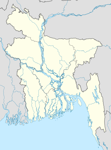  Chirirbandar Location in Bangladesh | |
| Coordinates: 25°39.8′N 88°47′E / 25.6633°N 88.783°ECoordinates: 25°39.8′N 88°47′E / 25.6633°N 88.783°E | |
| Country |
 Bangladesh Bangladesh |
| Division | Rangpur Division |
| District | Dinajpur District |
| Area | |
| • Total | 308.68 km2 (119.18 sq mi) |
| Population (1991) | |
| • Total | 232,409 |
| • Density | 750/km2 (2,000/sq mi) |
| Time zone | BST (UTC+6) |
| Website | Official Map of Chirirbandar |

Chirirbandar (Bengali: চিরিরবন্দর) is an Upazila of Dinajpur District in the Division of Rangpur, Bangladesh.[1]
Geography
Chirirbandar is located at 25°39′45″N 88°47′00″E / 25.6625°N 88.7833°E - it has 42790 households and total area 308.68 km².
Demographics
As of the 1991 Bangladesh census, Chirirbandar has a population of 232409. Males constitute 51.43% of the population, and females 48.57%. This Upazila's eighteen up population is 114095. Chirirbandar has an average literacy rate of 28.6% (7+ years), and the national average of 32.4% literate.[2]
Administration
Chirirbandar has 12 unions/wards, 145 mauzas/mahallas, and 141 villages.
See also
References
- ↑ Rezaul Karim (2012), "Chirirbandar Upazila", in Sirajul Islam and Ahmed A. Jamal, Banglapedia: National Encyclopedia of Bangladesh (Second ed.), Asiatic Society of Bangladesh
- ↑ "Population Census Wing, BBS". Archived from the original on 27 March 2005. Retrieved 10 November 2006.
| Upazila/Thana: | | |
|---|---|---|
| Upazilas of the Rangpur Division | ||
|---|---|---|
Capital: Rangpur | ||
| Dinajpur District | 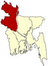 | |
| Gaibandha District | ||
| Kurigram District | ||
| Lalmonirhat District | ||
| Nilphamari District | ||
| Panchagarh District | ||
| Rangpur District | ||
| Thakurgaon District | ||
This article is issued from Wikipedia - version of the 11/9/2016. The text is available under the Creative Commons Attribution/Share Alike but additional terms may apply for the media files.