Chupiquiña
| Chupiquiña | |
|---|---|
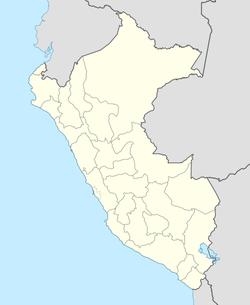  Chupiquiña Peru | |
| Highest point | |
| Elevation | 5,805 m (19,045 ft) [1] |
| Coordinates | 17°39′56″S 69°47′58″W / 17.66556°S 69.79944°WCoordinates: 17°39′56″S 69°47′58″W / 17.66556°S 69.79944°W |
| Geography | |
| Location | Peru, Tacna Region |
| Parent range | Andes, Barroso |
Chupiquiña or Chupikiña[2] (Aymara) is a volcano on the border of Chile and Peru, about 5,805 metres (19,045 ft) high. On the Chilean side it is situated in the Arica y Parinacota Region, Parinacota Province, and on the Peruvian side it lies in the Tacna Region, Tacna Province, Palca District.[3] Chupiquiña lies southeast of Achacollo and south of the Huancune volcano, near the Chilean volcano named Tacora.
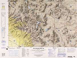
Map of the area showing the location of Chupiquiña
References
- ↑ mincetur.gob.pe "Cordillera del Barroso"
- ↑ aymara.ucb.edu.bo/
- ↑ escale.minedu.gob.pe - UGEL map of the Tacna Province (Tacna Region)
This article is issued from Wikipedia - version of the 10/22/2016. The text is available under the Creative Commons Attribution/Share Alike but additional terms may apply for the media files.