Ciudad Piar
| Ciudad Piar | |
|---|---|
  Ciudad Piar | |
| Coordinates: 7°27′08″N 63°19′12″W / 7.45222°N 63.32000°WCoordinates: 7°27′08″N 63°19′12″W / 7.45222°N 63.32000°W | |
| Country | Venezuela |
| State | Bolívar |
| Municipality | Angostura |
| Population (2011) | |
| • Total | 40,918 |
| Time zone | VST (UTC-04:30) |
| • Summer (DST) | not observed (UTC-04:30) |
| Climate | Aw |
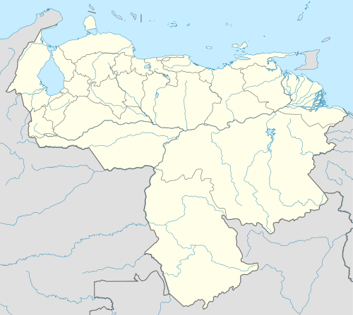
Ciudad Piar is a town in the state of Bolívar, Venezuela,[1] about 77 kilometres (48 mi) south of Ciudad Bolívar, but a longer 120 kilometres (75 mi) by road. The town is in the eastern foothills of Cerro Bolivar, a mountain that is being mined for iron ore, and just inland from the huge Embalse de Guri reservoir.[2] It is the administrative seat for Angostura Municipality. It is primarily a mining town.
In 2010 the Universidad Bolivariana de los Trabajadores “Jesus Rivero” opened in Ciudad Piar.[3]
Notes and references
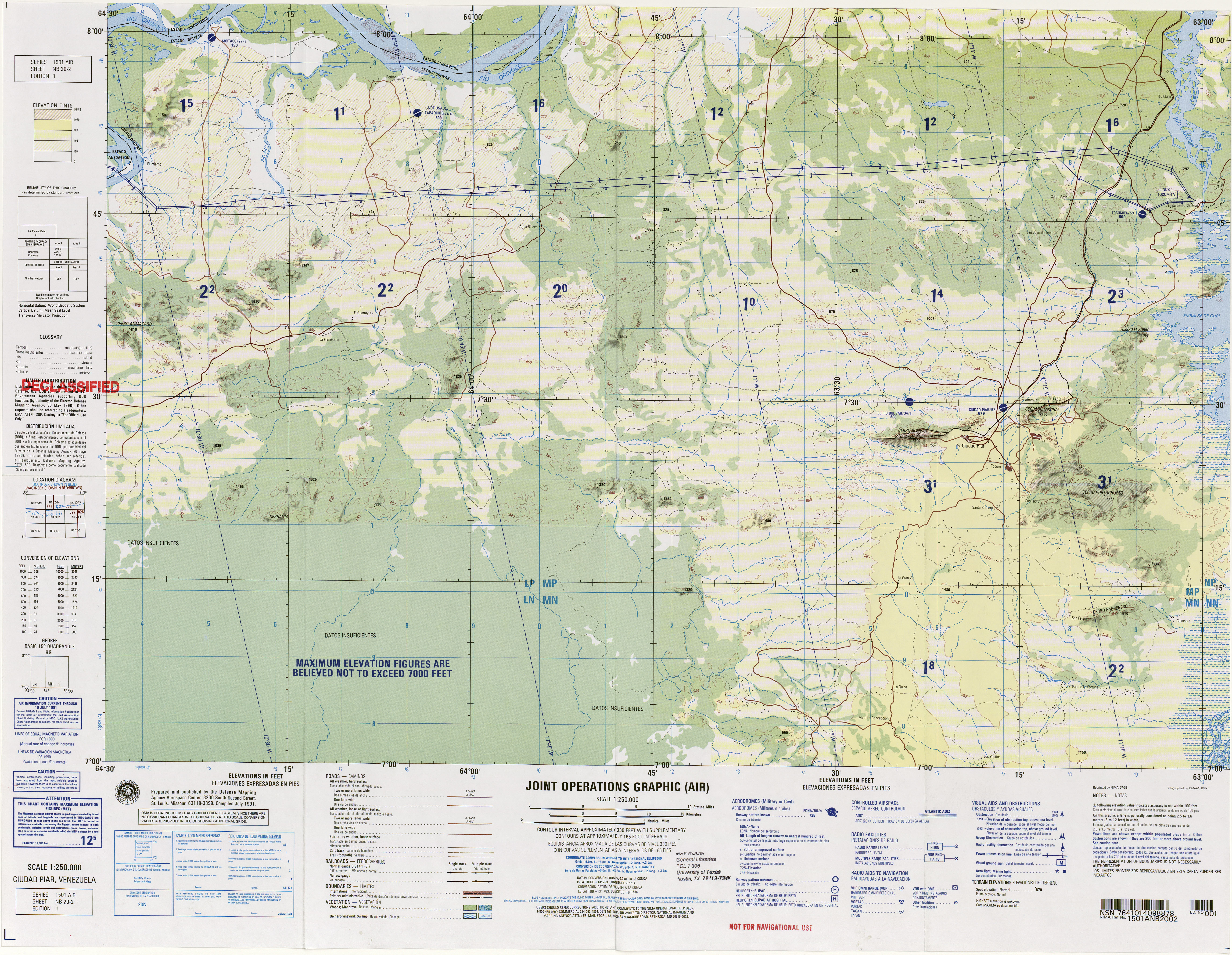
- ↑ United States Defense Mapping Agency (1991). Cuidad Piar, Venezuela, NB 2-02 (Map). 1:250,000. Series 1501 Air.
- ↑ Farrell, John (23 February 1969). "A Dam And Falls In Venezuela Jungle". The Blade. Toledo, Ohio.
- ↑ "Creada Universidad Bolivariana para trabajadores en Ciudad Piar". Correo del Orinoco. 28 February 2010. Archived from the original on 3 April 2015.
This article is issued from Wikipedia - version of the 6/3/2016. The text is available under the Creative Commons Attribution/Share Alike but additional terms may apply for the media files.