Coles County Memorial Airport
| Coles County Memorial Airport | |||||||||||||||||||
|---|---|---|---|---|---|---|---|---|---|---|---|---|---|---|---|---|---|---|---|
| IATA: MTO – ICAO: KMTO – FAA LID: MTO | |||||||||||||||||||
| Summary | |||||||||||||||||||
| Airport type | Public | ||||||||||||||||||
| Owner | Coles County Airport Authority | ||||||||||||||||||
| Serves | Mattoon/Charleston, Illinois | ||||||||||||||||||
| Elevation AMSL | 722 ft / 220 m | ||||||||||||||||||
| Coordinates | 39°28′41″N 088°16′45″W / 39.47806°N 88.27917°WCoordinates: 39°28′41″N 088°16′45″W / 39.47806°N 88.27917°W | ||||||||||||||||||
| Website | ColesCountyAirport.com | ||||||||||||||||||
| Map | |||||||||||||||||||
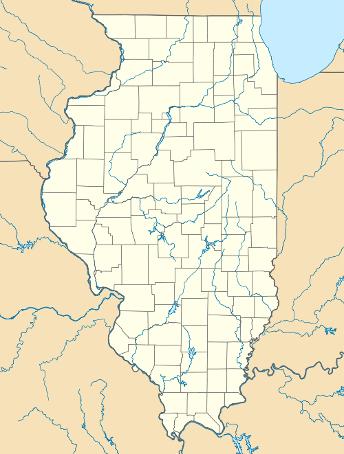  MTO 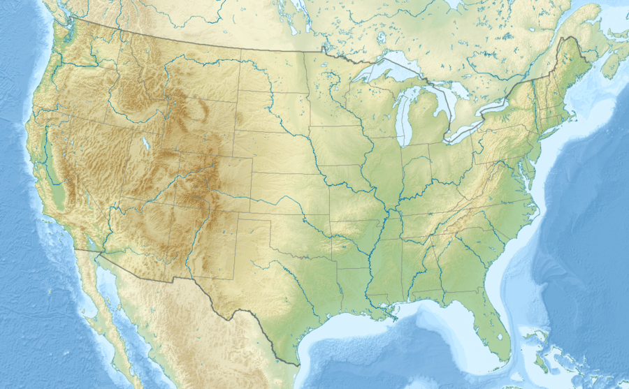 MTO Location of airport in Illinois/United States | |||||||||||||||||||
| Runways | |||||||||||||||||||
| |||||||||||||||||||
| Statistics (2010) | |||||||||||||||||||
| |||||||||||||||||||
Coles County Memorial Airport (IATA: MTO, ICAO: KMTO, FAA LID: MTO) is between the cities of Mattoon and Charleston in Coles County, Illinois.[1][2] Owned by the Coles County Airport Authority,[1] it is five miles east of Mattoon[1] and six miles west of Charleston. The National Plan of Integrated Airport Systems for 2011–2015 called it a general aviation facility.[3]
Airline flights started around 1955 (Ozark DC-3s) and ended in 2000-2001.
Facilities
The airport covers 1,225 acres (496 ha) at an elevation of 722 feet (220 m). It has three runways:[1]
- 11/29 is 6,501 by 150 feet (1,982 x 46 m) concrete/grooved; ILS equipped
- 6/24 is 5,799 by 100 feet (1,768 x 30 m) asphalt
- 18/36 is 1,080 by 250 feet (329 x 76 m) turf
Other facilities:
- VOR/DME (MTO): 109.40 MHz automated weather available on VOR
- Fixed-base operator: Central Illinois Air
- Airport Steakhouse Restaurant
In 2010 the airport had 32,708 aircraft operations, average 89 per day: 92% general aviation, 8% air taxi, and <1% military. 60 aircraft were then based at this airport: 82% single-engine, 8% multi-engine, 5% helicopter, and 5% ultralight.[1]
References
- 1 2 3 4 5 6 FAA Airport Master Record for MTO (Form 5010 PDF). Federal Aviation Administration. Effective May 31, 2012.
- ↑ "Coles County Memorial Airport". Retrieved November 22, 2012.
- ↑ "2011–2015 NPIAS Report, Appendix A" (PDF). National Plan of Integrated Airport Systems. Federal Aviation Administration. October 4, 2010. Archived from the original (PDF, 2.03 MB) on 2012-09-27. External link in
|work=(help)
External links
- Coles County Airport
- Central Illinois Air, the fixed-base operator
- Aerial image as of March 1999 from USGS The National Map
- FAA Terminal Procedures for MTO, effective November 10, 2016
- Resources for this airport:
- FAA airport information for MTO
- AirNav airport information for KMTO
- ASN accident history for MTO
- FlightAware airport information and live flight tracker
- NOAA/NWS latest weather observations
- SkyVector aeronautical chart, Terminal Procedures
Aviation in Illinois | ||
|---|---|---|
| Primary airports |
|  |
| Military | ||
| Airlines |
| |
| Aviation-related | ||
| Air shows | ||