Colledara
| Colledara | |
|---|---|
| Comune | |
| Comune di Colledara | |
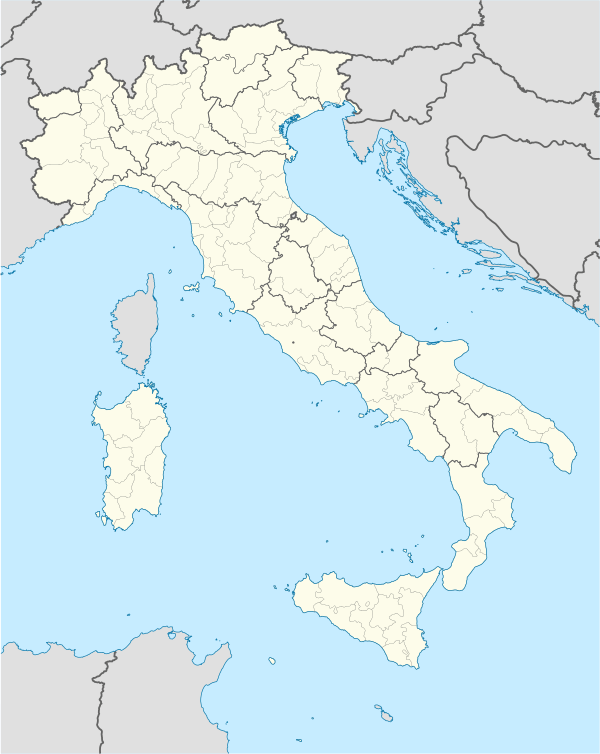  Colledara Location of Colledara in Italy | |
| Coordinates: 42°32′N 13°41′E / 42.533°N 13.683°ECoordinates: 42°32′N 13°41′E / 42.533°N 13.683°E | |
| Country | Italy |
| Region | Abruzzo |
| Province / Metropolitan city | Teramo (TE) |
| Frazioni | Bascianella, Capo di Colle, Castiglione della Valle, Chiovano, Collecastino, Villa Ilii, Ornano Grande, Ornano Piccolo, Pantani, Pizzicato, Sbarra, Vico, Villapetto |
| Area | |
| • Total | 19.86 km2 (7.67 sq mi) |
| Elevation | 430 m (1,410 ft) |
| Population (2007)[1] | |
| • Total | 2,250 |
| • Density | 110/km2 (290/sq mi) |
| Demonym(s) | Colledaresi |
| Time zone | CET (UTC+1) |
| • Summer (DST) | CEST (UTC+2) |
| Postal code | 64042 |
| Dialing code | 0861 |
| Patron saint | Madonna di Costantinopoli |
| Saint day | Lunedì dopo Pasqua |
| Website | Official website |
Colledara is a town and comune in Teramo province in the Abruzzo region of eastern Italy.
References
This article is issued from Wikipedia - version of the 5/31/2015. The text is available under the Creative Commons Attribution/Share Alike but additional terms may apply for the media files.