Colonia Catriel Airport
| Colonia Catriel Airport Aeropuerto de Colonia Catriel | |||||||||||
|---|---|---|---|---|---|---|---|---|---|---|---|
| IATA: CCT – ICAO: none | |||||||||||
| Summary | |||||||||||
| Airport type | Public | ||||||||||
| Operator | Government | ||||||||||
| Serves | Catriel, Río Negro Province, Argentina | ||||||||||
| Elevation AMSL | 313 m / 1,027 ft | ||||||||||
| Coordinates | 37°54′36″S 067°50′06″W / 37.91000°S 67.83500°WCoordinates: 37°54′36″S 067°50′06″W / 37.91000°S 67.83500°W | ||||||||||
| Map | |||||||||||
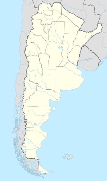  CCT Location of the airport in Argentina | |||||||||||
| Runways | |||||||||||
| |||||||||||
Colonia Catriel Airport (IATA: CCT) (Spanish: Aeropuerto de Colonia Catriel) is an airport serving the city of Catriel in the Río Negro Province of Argentina.
References
- ↑ Airport information for CCT at Great Circle Mapper.
- ↑ Airport information for Colonia Catriel Airport at Search (for) Travel website.
External links
This article is issued from Wikipedia - version of the 5/22/2014. The text is available under the Creative Commons Attribution/Share Alike but additional terms may apply for the media files.