Da'an River
| Da'an River | |
|---|---|
 | |
  Da'an River in Taiwan | |
| Country | Taiwan |
| Basin | |
| Main source |
Xueshan Range: Dabajian Mountain 3,488 m (11,444 ft) |
| River mouth |
Taiwan Strait 24°24′26″N 120°35′35″E / 24.4072°N 120.5931°ECoordinates: 24°24′26″N 120°35′35″E / 24.4072°N 120.5931°E |
| Basin size | 758.47 km2 (292.85 sq mi) |
| Physical characteristics | |
| Length | 95.76 km (59.50 mi) |
| Discharge |
|
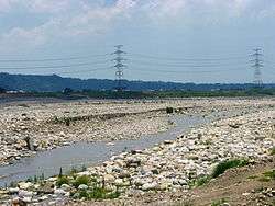
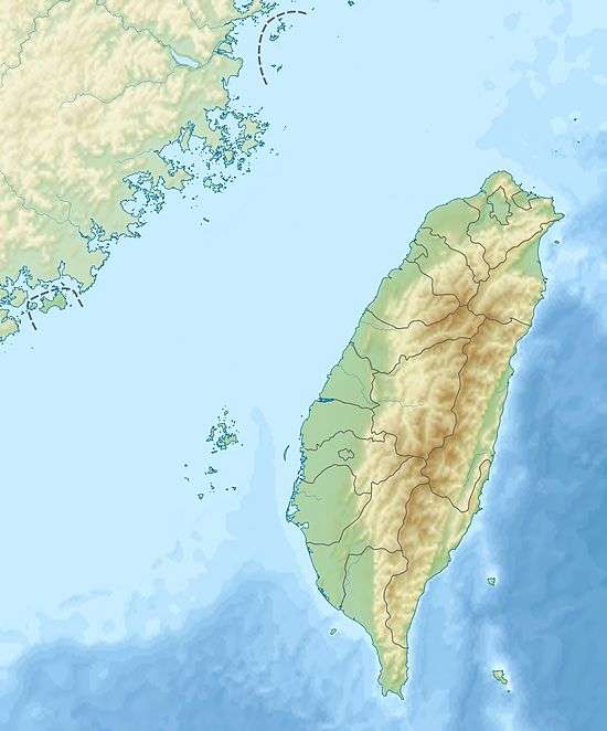
The Da'an River (Chinese: 大安溪; pinyin: Dà'ān Xī) is a river in northwestern Taiwan. It flows through Miaoli County and Taichung City for 96 kilometres (60 mi). It reaches the Taiwan Strait between the Dajia District and Da'an District, Taichung.[1][2]
The Da'an River was affected by the "921 earthquake" in 1999, where a gorge was formed (called Da'an River Grand Canyon Chinese: 大安溪大峽谷). In some of the fastest erosion geologists have ever seen, the gorge is being eaten away from its upstream end at a rate of 17 meters per year. They expect the gorge to be erased after 50 years.[3][4]
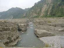
Da'an River "Grand Canyon"
See also
 |
Wikimedia Commons has media related to Da-an River. |
References
- ↑ "GeoNames Search". Geographic Names Database. National Geospatial-Intelligence Agency, USA. Retrieved 10 June 2016.
- ↑ "Da'an River" (in Chinese). Water Resources Agency, Ministry of Economic Affairs. Retrieved 10 June 2016.
- ↑ Jonathan Webb (18 August 2014). "Taiwan's 'vanishing canyon' has 50 years left". BBC News. Retrieved 10 June 2016.
- ↑ Cook, Kristen L.; Turowski, Jens M.; Hovius, Niels (2014). "River gorge eradication by downstream sweep erosion". Nature Geoscience. 7 (9): 682–686. doi:10.1038/ngeo2224.
This article is issued from Wikipedia - version of the 6/12/2016. The text is available under the Creative Commons Attribution/Share Alike but additional terms may apply for the media files.