Tyendinaga (Mohawk) Airport
| Tyendinaga (Mohawk) Airport | |||||||||||||||
|---|---|---|---|---|---|---|---|---|---|---|---|---|---|---|---|
| IATA: none – ICAO: none – TC LID: CPU6 | |||||||||||||||
| Summary | |||||||||||||||
| Airport type | Public | ||||||||||||||
| Operator | First Nations Technical Institute | ||||||||||||||
| Location | Tyendinaga Mohawk Territory, Ontario | ||||||||||||||
| Time zone | EST (UTC−05:00) | ||||||||||||||
| • Summer (DST) | EDT (UTC−04:00) | ||||||||||||||
| Elevation AMSL | 260 ft / 79 m | ||||||||||||||
| Coordinates | 44°11′05″N 077°06′28″W / 44.18472°N 77.10778°WCoordinates: 44°11′05″N 077°06′28″W / 44.18472°N 77.10778°W | ||||||||||||||
| Map | |||||||||||||||
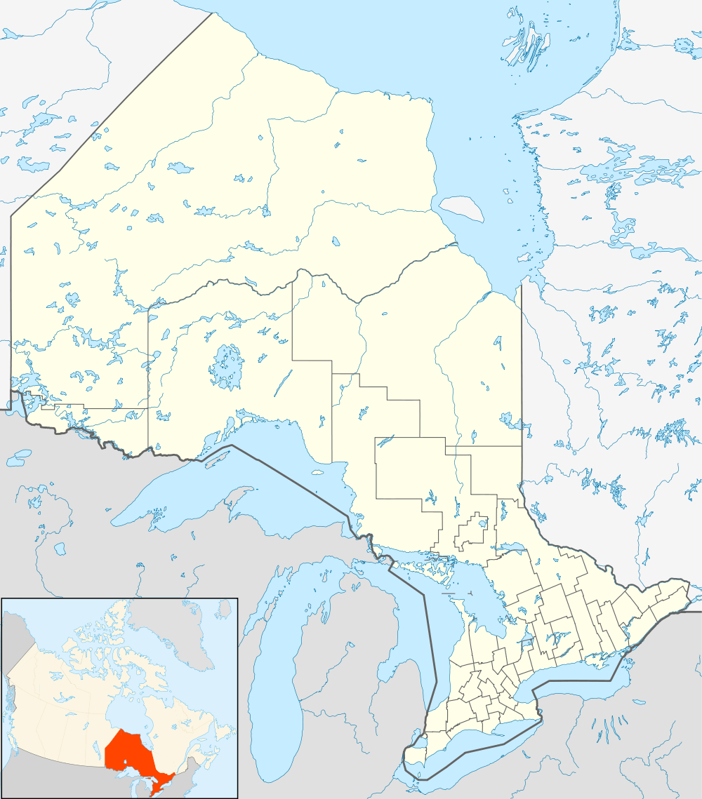  CPU6 Location in Ontario | |||||||||||||||
| Runways | |||||||||||||||
| |||||||||||||||
|
Source: Canada Flight Supplement[1] | |||||||||||||||
Tyendinaga (Mohawk) Airport (TC LID: CPU6) is a registered aerodrome that is open to the public and caters mainly to general aviation. The aerodrome is located in Tyendinaga Mohawk Territory, 3 nautical miles (5.6 km; 3.5 mi) southwest of Tyendinaga, Ontario, Canada, north of the Bay of Quinte between Kingston and Belleville.
History
Originally known as Deseronto Airport, the field opened in 1917 as a training school for pilots during World War I. During World War II, it hosted the No. 1 Instrument Navigation School for the British Commonwealth Air Training Plan, providing advanced instrument-navigation training to air crews.
The aerodrome is currently the site of the First Nations Technical Institute and the First Nations Flying School.
References
- ↑ Canada Flight Supplement. Effective 0901Z 15 September 2016 to 0901Z 10 November 2016
External links
- Airport home page
- Page about this airport on COPA's Places to Fly airport directory
| By name | |
|---|---|
| By location indicator | |
| By province/territory | |
| By region | |
| National Airports System | |
| Related | |
| |


