Desolation Peak (Wyoming)
| Desolation Peak | |
|---|---|
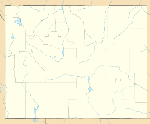  Desolation Peak Sublette County, Wyoming, U.S. | |
| Highest point | |
| Elevation | 13,161 ft (4,011 m) [1] |
| Prominence | 915 ft (279 m) [1] |
| Coordinates | 43°12′06″N 109°40′46″W / 43.20167°N 109.67944°WCoordinates: 43°12′06″N 109°40′46″W / 43.20167°N 109.67944°W [2] |
| Geography | |
| Location | Sublette County, Wyoming, U.S. |
| Parent range | Wind River Range |
| Topo map | USGS Gannett Peak |
| Climbing | |
| First ascent | 1930 (Gustav and Theodore Koven)[1] |
| Easiest route | Scramble |
Desolation Peak (13,161 ft (4,011 m)) is located in the northern Wind River Range in the U.S. state of Wyoming.[3] Situated .66 mi (1.06 km) west of Rampart Peak, Desolation Peak is within the Bridger Wilderness of Bridger-Teton National Forest and west of the Continental Divide. Desolation Peak is the 22nd tallest peak in Wyoming.[4]
References
- 1 2 3 "Desolation Peak, Wyoming". Peakbagger.com. Retrieved October 19, 2013.
- ↑ "Desolation Peak". Geographic Names Information System. United States Geological Survey. Retrieved October 19, 2013.
- ↑ Gannett Peak, WY (Map). TopoQwest (United States Geological Survey Maps). Retrieved October 19, 2013.
- ↑ "Wyoming 13,000-foot Peaks". Peakbagger.com. Retrieved October 19, 2013.
This article is issued from Wikipedia - version of the 2/25/2016. The text is available under the Creative Commons Attribution/Share Alike but additional terms may apply for the media files.