Dhambola
| Dhambola धम्बोला | |
|---|---|
| village | |
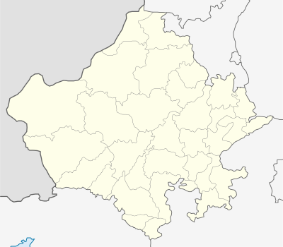  Dhambola  Dhambola Location in Rajasthan, India | |
| Coordinates: 23°35′23″N 73°46′01″E / 23.58972°N 73.76694°ECoordinates: 23°35′23″N 73°46′01″E / 23.58972°N 73.76694°E | |
| Country | India |
| State | Rajasthan |
| District | Dungarpur |
| Tehsil | Simalwara |
| Population (2011) | |
| • Total | 4,010 |
| Languages | |
| • Official | Hindi |
| Time zone | IST (UTC+5:30) |
| PIN | 314403 |
Dhambola is a panchayat village[1] in Simalwara Tehsil of Dungarpur District, Rajasthan, India.[2][3]
There are three villages in the Dhambola gram panchayat: Dhambola, Kesharpura, and Merop.[3]
Geography
Dhambola lies on the left bank of a tributary to the Vatrak River, just downstream from the Talab reservoir.[4] The main highway through the village is State Highway 54 which runs north to the town of Dungarpur and south to the town of Simalwara.[4][5]
Demographics
In the 2011 census the village of Dhambola had 4,110 people forming 868 families.[6] 16.6% of the population was below the age of six.[6] The Sex Ratio for children in Dhambola as per the census was .866 females to 1 male, a likely indicator of female infanticide.[7] The literacy rate in Dhambola was 69.00%, with the male rate being 77.89% and the female rate 59.87%.[6] Agriculture occupied less than 10% of the village workers.[6]
Points of interest
- Khakhleshwar Mahadev Temple is a Hindu temple in Dhambola.
Website
Notes and references
- ↑ 2011 Village Panchayat Code = 33548, "Reports of National Panchayat Directory: Village Panchayat Names of Dungarpur, Rajasthan". Ministry of Panchayati Raj, Government of India. Archived from the original on 19 April 2015.
- ↑ 2001 Census Village code = 03359600, "2001 Census of India: List of Villages by Tehsil: Rajasthan" (PDF). Registrar General & Census Commissioner, India. p. 666. Archived (PDF) from the original on 13 November 2011.
- 1 2 2011 Census Village code = 098249, "Reports of National Panchayat Directory: List of Census Villages mapped for: Dhambola Gram Panchayat, Simalwara, Dungarpur, Rajasthan". Registrar General & Census Commissioner, India. Archived from the original on 19 April 2015.
- 1 2 "District Wise Health Facilities: District Map: Dungarpur District". National Health Mission (NHM), Government of Rajastha. Archived from the original on 19 March 2015.
- ↑ "State Highways in the State" (PDF). Transport Department, Government of Rajasthan. 31 March 2010. Archived (PDF) from the original on 15 September 2012.
- 1 2 3 4 "Dhambola Population – Dungarpur, Rajasthan". Census 2011. Archived from the original on 16 April 2015.
- ↑ Sekher, T. V.; Hatti, Neelambar (2005). "Discrimination of Female Children in Modern India: from Conception through Childhood". XXV International Population Conference, Tours, France, 18-23 July 2005 (PDF). Paris: International Union of the Scientific Study of Population. Archived (PDF) from the original on 19 April 2015.

