Donatyre
| Donatyre | ||
|---|---|---|
| Former municipality of Switzerland | ||
| ||
  Donatyre | ||
|
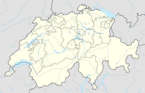
Location of Donatyre  | ||
| Coordinates: 46°53′N 07°03′E / 46.883°N 7.050°ECoordinates: 46°53′N 07°03′E / 46.883°N 7.050°E | ||
| Country | Switzerland | |
| Canton | Vaud | |
| District | Avenches | |
| Area | ||
| • Total | 1.11 km2 (0.43 sq mi) | |
| Elevation | 505 m (1,657 ft) | |
| Population | ||
| • Total | 140 | |
| • Density | 130/km2 (330/sq mi) | |
| Postal code | 1582 | |
| Surrounded by | Avenches, Misery-Courtion (FR), Villarepos (FR) | |
| Website |
Profile (French), | |

Donatyre is a village in the district of Avenches of the Canton of Vaud, Switzerland. Since losing its status as an independent municipality on 1 July 2006, it has been part of the municipality of Avenches.[1]
The village, which follows the old Roman wall of Aventicum,[2] contains a chapel dedicated to Saint Thecla.
References
- ↑ Amtliches Gemeindeverzeichnis der Schweiz published by the Swiss Federal Statistical Office (German) accessed 18 February 2011
- ↑ "Donatyre", Historischen Lexikon der Schweiz (German)
This article is issued from Wikipedia - version of the 12/17/2013. The text is available under the Creative Commons Attribution/Share Alike but additional terms may apply for the media files.