Dzhami District
| Jomi District Ноҳияи Ҷомӣ ناحیه جامی | |
|---|---|
 | |
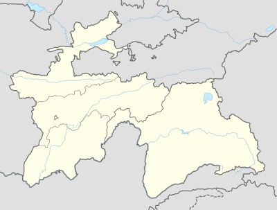  Jomi District Ноҳияи Ҷомӣ Jomi District Location in Tajikistan | |
| Coordinates: 37°56′45″N 68°48′42″E / 37.94583°N 68.81167°ECoordinates: 37°56′45″N 68°48′42″E / 37.94583°N 68.81167°E | |
| Country |
 Tajikistan Tajikistan |
| Province | Khatlon |
| Capital | Jomi |
| Area | |
| • Land | 597 km2 (231 sq mi) |
| Population (2003) | |
| • Total | 109,200 |
| • Ethnicities |
Tajik |
| • Languages | Tajik-Persian |
| Website | tj |
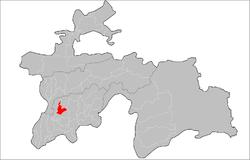
Jomi District (Tajik: Ноҳияи Абдураҳмони Ҷомӣ/Persian: ناحیه عبدالرحمان جامی) is a district in Khatlon Province of Tajikistan, located north of the provincial capital Kurgan-Tyube (Qurghonteppa). Population 109,200 (2003 data).[1] Called Kuybyshevskiy District in Soviet times, then Hojamaston District until 2004, and finally renamed Dzhami (or Jomi) district[2] in honor of the 15th century Tajik-Persian Poet Abdurahman Jami (Tajik: Ҷомӣ, transliterated as Jomi).[3] The district capital is still listed as Kuybyshev or Kuybyshevsk.[1]
References
- 1 2 Republic of Tajikistan, map showing administrative division as of January 1, 2004, "Tojikkoinot" Cartographic Press, Dushanbe (Russian)
- ↑ Renaming Hojamaston district to Dzhami (Jomi) district (Russian)
- ↑ Abdurahman Jami (Russian)
| Capital | 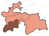 | |
|---|---|---|
| Districts | ||
| Main cities and towns | ||
This article is issued from Wikipedia - version of the 7/20/2016. The text is available under the Creative Commons Attribution/Share Alike but additional terms may apply for the media files.