Eoropie

Coordinates: 58°30′11″N 6°15′58″W / 58.503°N 6.266°W
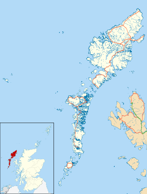
Eoropie (Scottish Gaelic: Eòrapaidh) is the most northerly village on the Isle of Lewis in the parish of Ness, in the Outer Hebrides, Scotland. Eoropie is within the parish of Barvas.[1] The Teampull Mholuaidh is to be found here. Eoropie is situated at the end of the B8013 and B8014 roads, from Lionel and Port of Ness, respectively.[2][3]
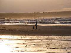
It is just south of the Butt of Lewis and contains the Eoropie Dunes Park. It is beside a beautiful beach at Traigh Shanndaigh.
References
External links
 |
Wikimedia Commons has media related to Eoropie. |
This article is issued from Wikipedia - version of the 6/9/2016. The text is available under the Creative Commons Attribution/Share Alike but additional terms may apply for the media files.