Firies
| Fieries Na Foidhrí | |
|---|---|
| Village | |
|
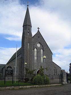
Firies, Church of St Gertrude | |
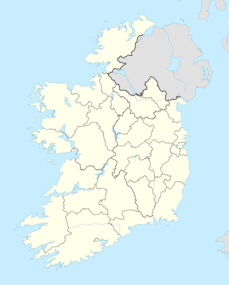  Fieries Location in Ireland | |
| Coordinates: 52°10′14″N 09°35′52″W / 52.17056°N 9.59778°WCoordinates: 52°10′14″N 09°35′52″W / 52.17056°N 9.59778°W | |
| Country |
 Ireland Ireland |
| Province | Munster |
| County | County Kerry |
| Elevation | 20.978 m (68.827 ft) |
| Population (2011) | |
| • Total | 491 |
Firies (officially Fieries; Irish: Na Foidhrí)[1] is a village in County Kerry, Ireland. It is on the R561 road between Farranfore and Castlemaine.[2] The population in 2011 was 491.[3]
Education
Opened in 1991, the Firies National School is a rural 15 teacher and Green school.[4]
Firies Castle
On a rock outcrop 855 meters south of the village is the fragmentary remains of a rectangular tower. The ground-floor appears to be occupied by a single chamber which was covered by a rounded vault which is almost entirely fallen. Only part of the walling above ground-floor level survives.[5]
See also
References
- ↑ "Fieries". Placenames Database of Ireland. Retrieved 30 April 2012.
- ↑ "Fieries" (PDF). Kerry County Council. Retrieved 30 April 2012.
- ↑ Central Statistics Office, 2012 Census 2011 Population Classified by Area (Formerly Volume One)
- ↑ "Home Page". Firies National School. Retrieved 31 October 2014.
- ↑ "Archaeological Survey Database". National Monuments Service. Retrieved 31 October 2014.
External links
 Media related to Firies at Wikimedia Commons
This article is issued from Wikipedia - version of the 7/30/2016. The text is available under the Creative Commons Attribution/Share Alike but additional terms may apply for the media files.