Flatiron Mountain (Lemhi County, Idaho)
| Flatiron Mountain | |
|---|---|
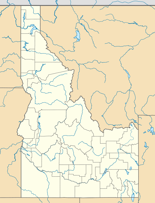  Flatiron Mountain Lemhi County, Idaho, U.S. | |
| Highest point | |
| Elevation | 11,019 ft (3,359 m) [1] |
| Prominence | 499 ft (152 m) [1] |
| Parent peak | Big Creek Peak |
| Coordinates | 44°27′40″N 113°31′34″W / 44.4610317°N 113.5261402°WCoordinates: 44°27′40″N 113°31′34″W / 44.4610317°N 113.5261402°W [2] |
| Geography | |
| Location | Lemhi County, Idaho, U.S. |
| Parent range | Lemhi Range |
| Topo map | USGS Big Creek Peak |
| Climbing | |
| Easiest route | Scramble, class 3 |
Flatiron Mountain, at 11,109 feet (3,386 m) above sea level is a peak in the Lemhi Range of Idaho. The peak is located in Lemhi County on the border of Caribou-Targhee National Forest and Salmon-Challis National Forest. It is about 1.1 mi (1.8 km) southeast of Big Creek Peak.[3]
References
- 1 2 "Flatiron Mountain, Idaho". Peakbagger.com. Retrieved January 2, 2013.
- ↑ "Flatiron Mountain". Geographic Names Information System. United States Geological Survey. Retrieved January 2, 2013.
- ↑ "Flatiron Mountain". List of John. Retrieved January 2, 2013.
This article is issued from Wikipedia - version of the 2/25/2016. The text is available under the Creative Commons Attribution/Share Alike but additional terms may apply for the media files.