Fort Severn Airport
| Fort Severn Airport | |||||||||||
|---|---|---|---|---|---|---|---|---|---|---|---|
|
IATA: YER – ICAO: CYER – WMO: 71099 | |||||||||||
| Summary | |||||||||||
| Airport type | Public | ||||||||||
| Operator | Government of Ontario | ||||||||||
| Location | Fort Severn First Nation | ||||||||||
| Time zone | EST (UTC−05:00) | ||||||||||
| • Summer (DST) | EDT (UTC−04:00) | ||||||||||
| Elevation AMSL | 52 ft / 16 m | ||||||||||
| Coordinates | 56°01′08″N 087°40′34″W / 56.01889°N 87.67611°WCoordinates: 56°01′08″N 087°40′34″W / 56.01889°N 87.67611°W | ||||||||||
| Map | |||||||||||
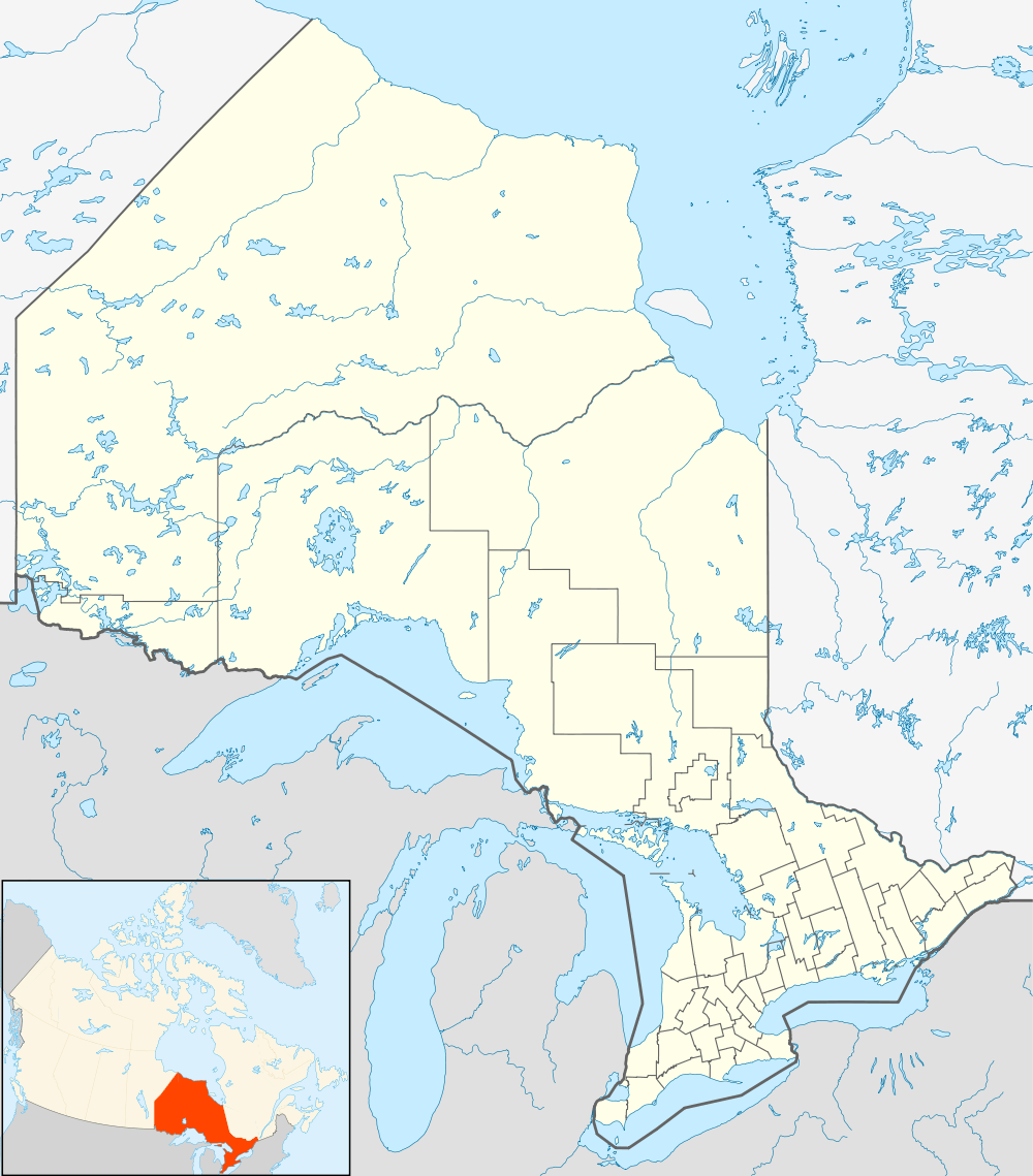  CYER Location in Ontario | |||||||||||
| Runways | |||||||||||
| |||||||||||
Fort Severn Airport, (IATA: YER, ICAO: CYER), is located 3 nautical miles (5.6 km; 3.5 mi) northwest of Fort Severn First Nation, Ontario, Canada. It is served by Wasaya Airways with connections to Sioux Lookout and Big Trout Lake.
Accidents and incidents
- On 25 September 1975, Douglas C-47A CF-AII of Ilford-Riverton Airways crashed short of the runway, killing all three people on board. The aircraft was operating a non-scheduled passenger flight.[3]
References
- ↑ Canada Flight Supplement. Effective 0901Z 15 September 2016 to 0901Z 10 November 2016
- ↑ Synoptic/Metstat Station Information
- ↑ "Accident description". Aviation Safety Network. Retrieved 21 August 2010.
External links
- Past three hours METARs, SPECI and current TAFs for Fort Severn Airport from Nav Canada as available.
- Wasaya Airways
| By name | |
|---|---|
| By location indicator | |
| By province/territory | |
| By region | |
| National Airports System | |
| Related | |
| |


This article is issued from Wikipedia - version of the 12/4/2016. The text is available under the Creative Commons Attribution/Share Alike but additional terms may apply for the media files.