Frata
This article is about a commune in Romania. For the Gottschee German settlement of Frata (a.k.a. Cink), see Cink.
| Frata | |
|---|---|
| Commune | |
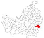 Location in Cluj County | |
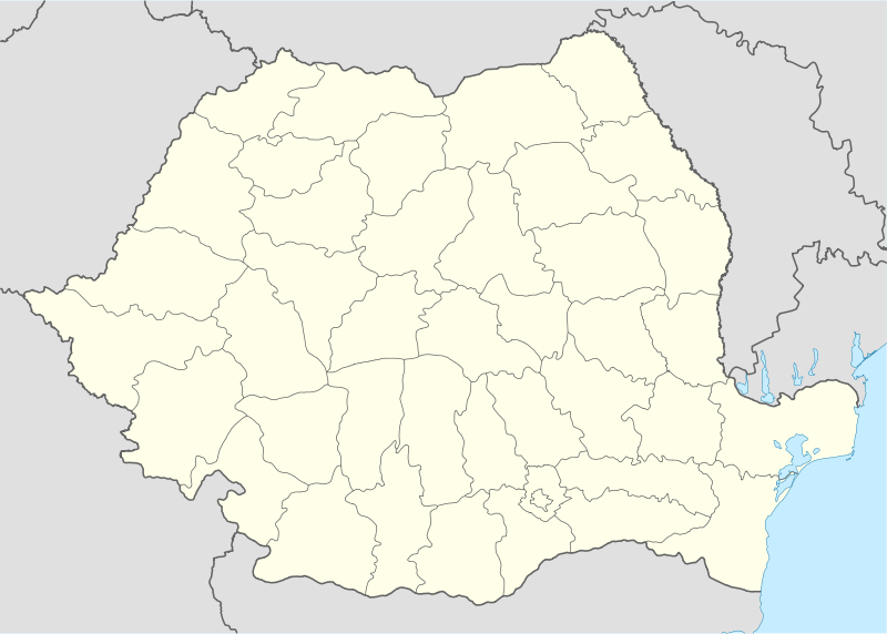  Location on Romania map | |
| Coordinates: 46°42′0″N 24°3′0″E / 46.70000°N 24.05000°ECoordinates: 46°42′0″N 24°3′0″E / 46.70000°N 24.05000°E | |
| Country |
 Romania Romania |
| County | Cluj County |
| Status | Commune |
| Settled | 1241 |
| Commune seat | Frata |
| Villages | Berchieşu, Frata, Oaş, Olariu, Pădurea Iacobeni, Poiana Frăţii, Soporu de Câmpie |
| Government | |
| • Mayor | Vasile Trif |
| Area | |
| • Total | 73 km2 (28 sq mi) |
| Population (July 1, 2007)[1] | |
| • Total | 4,274 |
| • Density | 59/km2 (150/sq mi) |
| Time zone | EET (UTC+2) |
| • Summer (DST) | EEST (UTC+3) |
| Area code(s) | +40 x64[2] |
| Website | http://www.cjcluj.ro/frata/ |
Frata (Hungarian: Magyarfráta) is a commune in Cluj County, Romania. It is composed of eight villages: Berchieşu (Berkenyes), Frata, Oaş, Olariu, Pădurea Iacobeni, Poiana Frăţii (Bethlentanya), Răzoare (Rozor) and Soporu de Câmpie (Mezőszopor).
Demographics
According to the census from 2002 there was a total population of 4,382 people living in this commune. Of this population, 87.49% are ethnic Romanians, 8.19% ethnic Romani and 4.24% are ethnic Hungarians.[3]
References
- ↑ "Population as of July 1, 2007" (in Romanian). INSSE. April 4, 2008. Retrieved May 4, 2008.
- ↑ x is a digit indicating the operator: 2 for the former national operator, Romtelecom, and 3 for the other ground telephone networks
- ↑ http://www.edrc.ro/recensamant.jsp?regiune_id=2140&judet_id=2295&localitate_id=2334

This article is issued from Wikipedia - version of the 8/5/2015. The text is available under the Creative Commons Attribution/Share Alike but additional terms may apply for the media files.