Fremrinámur
| Fremrinámur | |
|---|---|
  Fremrinámur | |
| Highest point | |
| Elevation | 939 m (3,081 ft) [1] |
| Listing | List of volcanoes in Iceland |
| Coordinates | 65°25′47″N 16°39′00″W / 65.42972°N 16.65000°WCoordinates: 65°25′47″N 16°39′00″W / 65.42972°N 16.65000°W |
| Geology | |
| Mountain type | Volcanic caldera |
| Last eruption | 1200 BCE (?) |
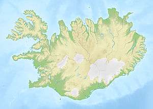
Freminrámur is a volcano located on the basalt plateau in Iceland. It is at the junction of the Mid-Atlantic Ridge and the Greenland–Iceland–Faeroe Ridge.[2] It is one of five volcanic systems found in the axial rift zone in north east Iceland.[3]
The last eruption was in 800 BC (± 300 years).[1]
References
- 1 2 "List of Icelandic Volcanoes". Retrieved June 7, 2012.
- ↑ "Geology". Retrieved June 7, 2012.
- ↑ "Geothermal Projects in NE Iceland at Krafla, Bjarnarflag, Gjástykki and Theistareykir" (PDF). p. 13. Retrieved June 7, 2012. The elevation is about 939 m (3081 ft).
This article is issued from Wikipedia - version of the 12/6/2015. The text is available under the Creative Commons Attribution/Share Alike but additional terms may apply for the media files.