Frieda River Airport
| Frieda River Airport | |||||||||||
|---|---|---|---|---|---|---|---|---|---|---|---|
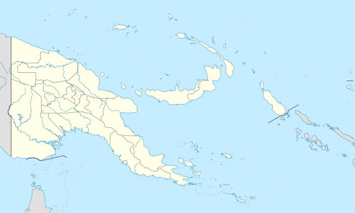  Frieda River Location of airport in Papua New Guinea
| |||||||||||
| Summary | |||||||||||
| Airport type | Public | ||||||||||
| Location | Frieda River, Papua New Guinea | ||||||||||
| Elevation AMSL | 200 ft / 61 m | ||||||||||
| Coordinates | 04°36.54′S 141°57.62′E / 4.60900°S 141.96033°E | ||||||||||
| Runways | |||||||||||
| |||||||||||
|
Source: PNG Airstrip Guide[1] | |||||||||||
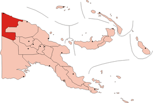
Frieda River Airport (IATA: FAQ[2], ICAO: AYFR) is an airfield serving the Frieda River area in Papua New Guinea.[1] It is located near the border between the provinces of West Sepik (Sandaun) and East Sepik. The area has a gold and copper mine known as the Frieda River Project.[3] The airfield is located 428 nautical miles (793 km; 493 mi) northwest of Port Moresby, the capital and largest city of Papua New Guinea.[4]
Facilities
The airfield resides at an elevation of 200 feet (61 m) above mean sea level. It has one runway designated 03/21 which is 640 metres (2,100 ft) long.[1]
References
- 1 2 3 PNG Airstrip Guide. August 2005.
- ↑ Accident history for FAQ at Aviation Safety Network
- ↑ "Xstrata buys into Pacific PNG gold". Australian Associated Press Pty Limited (AAP). 22 Jan 2007. Retrieved 2 Mar 2010.
- ↑ "Heading and distance from Port Moresby to Frieda River Airport". Great Circle Mapper. Retrieved 2 Mar 2010.
This article is issued from Wikipedia - version of the 9/1/2015. The text is available under the Creative Commons Attribution/Share Alike but additional terms may apply for the media files.