Furgghorn
| Furgghorn | |
|---|---|
| Cima del Breuil | |
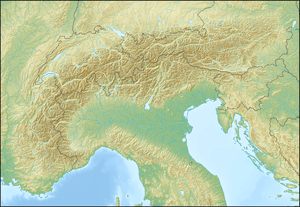  Furgghorn Location in the Alps | |
| Highest point | |
| Elevation | 3,451 m (11,322 ft) |
| Prominence | 100 m (330 ft) [1] |
| Parent peak | Furgggrat (3,492 m) |
| Coordinates | 45°57′15″N 07°41′59″E / 45.95417°N 7.69972°ECoordinates: 45°57′15″N 07°41′59″E / 45.95417°N 7.69972°E |
| Geography | |
| Location |
Valais, Switzerland Aosta Valley, Italy |
| Parent range | Pennine Alps |
The Furgghorn (German, Italian: Cima del Breuil) is a mountain of the Pennine Alps, located on the boundary between the canton of Valais (Switzerland) and Aosta Valley (northern Italy). It lies on the range south-east of the Matterhorn, near the Theodul Pass. The closest locality is Breuil-Cervinia on the Italian side. The closest locality on the Swiss side is Zermatt.
References
External links
This article is issued from Wikipedia - version of the 1/3/2016. The text is available under the Creative Commons Attribution/Share Alike but additional terms may apply for the media files.