Gangaraju Madugula
| G. Madugula గంగరాజు మాడుగుల Gangaraju Madugula | |
|---|---|
| Village | |
|
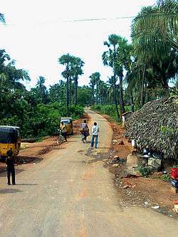
Rural road near Madugula | |
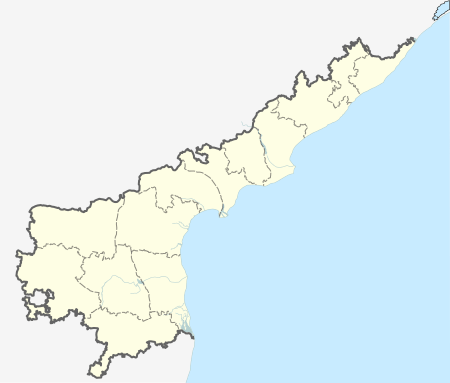  G. Madugula  G. Madugula Location in Andhra Pradesh, India | |
| Coordinates: 18°01′00″N 82°30′00″E / 18.0167°N 82.5000°ECoordinates: 18°01′00″N 82°30′00″E / 18.0167°N 82.5000°E | |
| Country |
 India India |
| State | Andhra Pradesh |
| District | Visakhapatnam |
| Elevation | 1,097 m (3,599 ft) |
| Languages | |
| • Official | Telugu |
| Time zone | IST (UTC+5:30) |
G.Madugula or Gangaraju Madugula is a village and a Mandal in Visakhapatnam district in the state of Andhra Pradesh in India.[1]
Geography
Gangarajumadugula is located at 18°01′00″N 82°30′00″E / 18.0167°N 82.5000°E.[2] It has an average elevation of 1097 metres (3602 ft).
References
- ↑ "Mandal wise list of villages in Visakhapatnam district" (PDF). Chief Commissioner of Land Administration. National Informatics Centre. Archived from the original (PDF) on 19 March 2015. Retrieved 6 March 2016.
- ↑ Gangarajumadugula at Fallingrain.com
This article is issued from Wikipedia - version of the 8/27/2016. The text is available under the Creative Commons Attribution/Share Alike but additional terms may apply for the media files.