Girvin, Saskatchewan
| Girvin | |
|---|---|
| Hamlet | |
|
King Street | |
| Motto: Here People Count | |
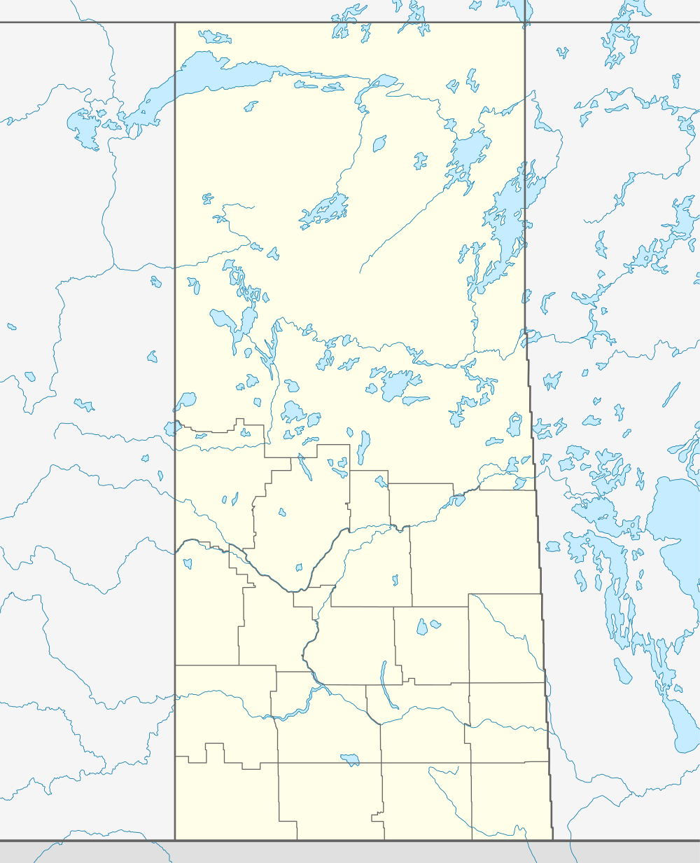  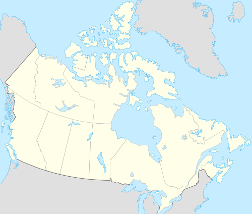 Location of Girvin in Saskatchewan | |
| Coordinates: 51°09′00″N 105°55′02″W / 51.15°N 105.9172°W | |
| Country | Canada |
| Province | Saskatchewan |
| Region | Saskatchewan |
| Census division | 11 |
| Rural Municipality | Arm River |
| unincorporated (Hamlet) | December 19, 2005 |
| Area | |
| • Total | 3.8 km2 (1.5 sq mi) |
| Population (2006) | |
| • Total | 20 |
| • Density | 5.3/km2 (14/sq mi) |
| Postal code | S0G 1X0 |
| Area code(s) | 306 |
| Highways |
Highway 11 Highway 749 |
| Waterways | |
| [1][2][3][4] | |
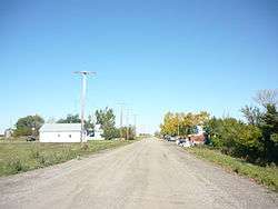
Girvin is a former village of 20 people in Saskatchewan, Canada. It is located midway between Regina and Saskatoon on Highway 11. The village was formally dissolved in 2005; its remaining population is now counted as part of the rural municipality of Arm River.[5]
Demographics
Prior to December 19, 2005, Girvin was incorporated as a village, and was restructured as a hamlet under the jurisdiction of the Rural municipality of Big Arm on that date.[6]
| Canada census – Girvin, Saskatchewan community profile | |||
|---|---|---|---|
| 2006 | |||
| Population: | 20 (-20.0% from 2001) | ||
| Land area: | 3.8 km2 (1.5 sq mi) | ||
| Population density: | 5.3/km2 (14/sq mi) | ||
| Median age: | NA (M: NA, F: NA) | ||
| Total private dwellings: | 21 | ||
| Median household income: | $NA | ||
| References: 2006[7] | |||
Girvin Pump house
Built in the 1906, it is known as the only pump house in Saskatchewan making it a Provincial historic site of Saskatchewan on September 14, 1994,[8] the pump house was constructed to provide access to water for horses used to haul grain to Girvin.
See also
Footnotes
- ↑ National Archives, Archivia Net, Post Offices and Postmasters
- ↑ Government of Saskatchewan, MRD Home, Municipal Directory System, archived from the original (– Scholar search) on November 21, 2008
- ↑ Canadian Textiles Institute. (2005), CTI Determine your provincial constituency
- ↑ Commissioner of Canada Elections, Chief Electoral Officer of Canada (2005), Elections Canada On-line
- ↑ "Saskatchewan Health Covered Population 2006". Saskatchewan Health. 2006-06-30. Retrieved 2008-10-21.
- ↑ "Restructured Villages". Saskatchewan Ministry of Municipal Affairs. Archived from the original on March 25, 2008. Retrieved 2008-02-10.
- ↑ "2006 Community Profiles". Canada 2006 Census. Statistics Canada. March 30, 2011. Retrieved 2009-02-24.
- ↑ Girvin Pump House http://heritageapp.cyr.gov.sk.ca/assets/pdf/48.pdf
 |
Loreburn | Davidson | Stalwart | |
| Elbow |  |
Liberty | ||
| ||||
 | ||||
| Mistusinne | Craik | Penzance |


 Subdivisions of Saskatchewan Subdivisions of Saskatchewan | |
|---|---|
| Subdivisions | |
| Communities | |
| Cities | |
| Topics |
|
| |


Coordinates: 51°09′00″N 105°55′02″W / 51.15°N 105.9172°W